What is recorded here
On the NE slope of a hill in pasture. Depicted as a small subrectangular field on the 1837 edition of the OS 6-inch map and as an irregular enclosure planted with trees on the 1914 edition. The monument has been levelled and is not visible at ground level. O'Donovan
Date of upload: 6 February 2012
On the NE slope of a hill in pasture. Depicted as a small subrectangular field on the 1837 edition of the OS 6-inch map and as an irregular enclosure planted with trees on the 1914 edition. The monument has been levelled and is not visible at ground level.
From the National Monuments Service (Archaeological Survey of Ireland) record LF017-010
The monument record does not grant public access. Check the route and ask the landowner before entering private land.
- What survives
- Recorded monument
Places near here
Photo credits
- National Inventory of Architectural Heritage
- Kieran Campbell, Geograph · CC BY-SA 2.0
- Mike Searle, Geograph · CC BY-SA 2.0
- AndreasDelp, Wikimedia Commons · CC BY-SA 4.0
- Colin Park, Geograph · CC BY-SA 2.0
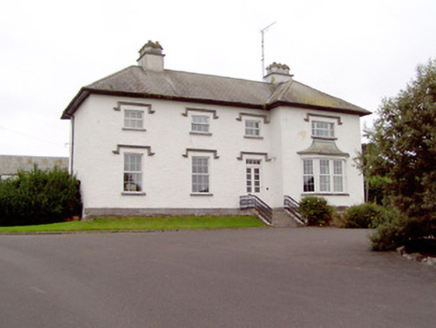 Rathcline HouseHouse · 299 yd
 Rathcline CastleBawn · 358 yd
 Rathcline CastleHouse, fortified house · 387 yd
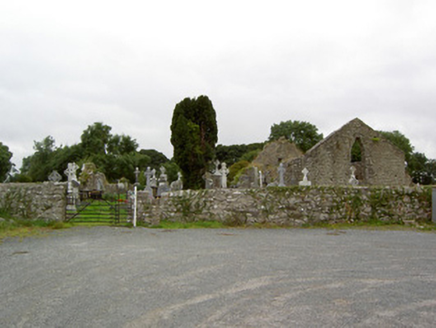 church/chapel547 ydCross in Glebe (rathcline By., Rathcline Ed)Cross · 556 ydWhite Sand WoodWood · 1199 ydIndicatedFairy fort / earthen ringfort · 1201 ydBallyclare IslandIslet · 1.0 miWild birdsVisitor information · 1.2 miCommons North WalkVisitor information · 1.5 mi
 InchcleraunIsland · 4.4 mi
 Slieve BawnMountain / peak · 5.6 mi
More archaeology and monuments in County Longford · All of County Longford
What do you know about this place?