What is recorded here
Indicated in quarry on 1842 OS 6-inch map. Random-rubble limestone walls encase core, built against natural rock face. Front elevation (H 5m; Wth 5.85m) faces N; stone-arched recess (H 2.35m; Wth 2.45m; D 2.4m) with second lower inner arch, remains of sloping slabs at rear with D-shaped stoking hole cut into slab, rectangular ope at base. Partially infilled brick-lined funnel (diam. c. 2m).
The above description is derived from the published 'Archaeological Inventory of County Cork. Volume 4: North Cork' (Dublin: Stationery Office, 2000). In certain instances the entries have been revised and updated in the light of recent research.
Date of upload/revision: 14 January 2009
The monument record does not grant public access. Check the route and ask the landowner before entering private land.
- What survives
- Recorded monument
Places near here
 Man-made underground passageMan-made underground passage · 233 yd
 Field system in RathclareField system · 740 yd
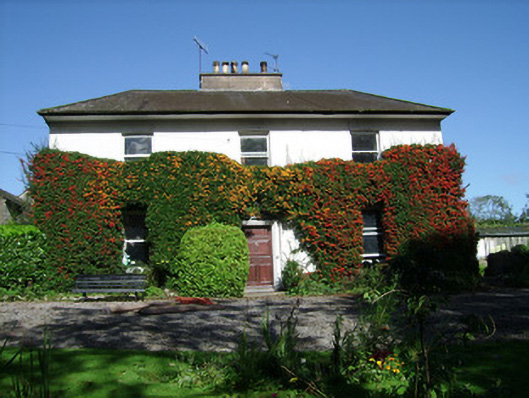 Spitalfieldshouse · 1022 yd
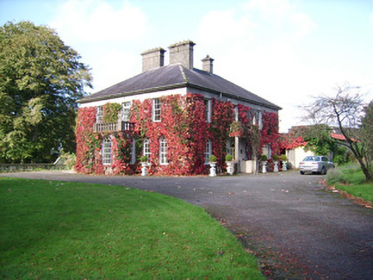 Rathclare Househouse · 1046 yd
 Ballinguile Castle (in Ruins)Castle, tower house · 1181 yd
 Buttevant Rail DisasterMemorial · 1421 yd
 David HurleyMemorial · 1.0 mi
 SycamoreSycamore · 1.1 mi
 Templeconnell Castle (in Ruins)Castle, tower house · 1.3 mi
 Rogan's Rock CovertWood · 1.7 mi
 Ballyhoura WayWalking route · 2.4 mi
 Lady's WellSpring · 3.5 mi