What is recorded here
In pasture, on top of a low rise of ground or hillock in undulating countryside with good views in all directions. The field to the N has been reclaimed and re-seeded in grass while the perimeter of the barrow is overgrown and covered in thorn bushes. The adjoining fields to the SE and SW are under tillage. This possible stepped barrow (overall diam. 52m E-W) consists of a circular mound (H 0.5-0.8m; top diam 20m; base diam. 24m) enclosed by an inner fosse (top Wth 6.3m; base Wth 3.5m; ext. D 0.5m), berm (Wth 5m; H 0.5m), earthen bank and outer berm (Wth 10m). As the monument is heavily overgrown detailed examination was impossible. The interior has been used as a rubbish dump. A field bank runs across the centre of the barrow on a NW-SE axis. There is a quarry (D 1.5m; dims 6m x 7m) in the SE sector of the interior between the inner face of the bank and the mound, the inner fosse has been quarried away in the N quadrant. An entrance causeway gap (Wth 3m) at S, appears to have been augmented by nearby quarrying activities.
Compiled by: Jean Farrelly
Date of upload: 26 August 2011
A Bronze Age cairn or barrow; its location suggests it may have had ritual or funerary significance, possibly as a territorial marker or ceremonial site.
The monument record does not grant public access. Check the route and ask the landowner before entering private land.
- What survives
- Recorded monument
Places near here
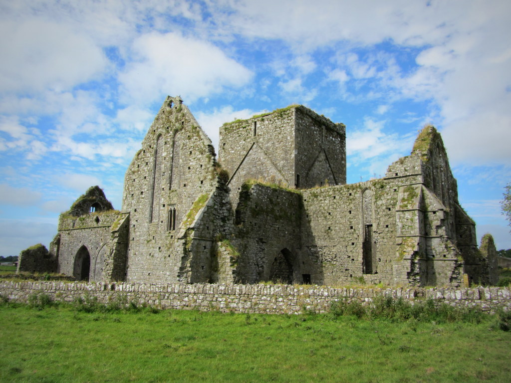 Partially hachuredEnclosure · 1113 yd
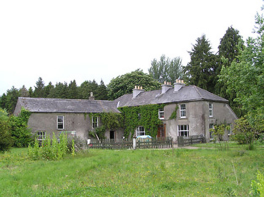 George's Parkhouse · 1335 yd
 RathbegFairy fort / earthen ringfort · 1425 yd
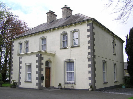 presbytery/parochial/curate's housepresbytery/parochial/curate's house · 1.2 mi
 Black CastleCastle, hall-house · 1.3 mi
 Fennor Castle (in Ruins)Castle, unclassified · 1.4 mi
 Kilcooly AbbeyHeritage attraction · 1.5 mi
 KilcooleyForest · 1.6 mi
 Serpentine WoodForest · 1.9 mi
 Bregaun HillMountain / peak · 3.5 mi
 John HelyMemorial · 4.1 mi
 DelaneyMemorial · 4.2 mi