What is recorded here
Indicated on 1842 OS 6-inch map within rectangular enclosure. Gatehouse/warden's house survives on E side, 3-bay, 1-storey with dormer windows flanked by shallow gabled 1-bay, 2-storey wings back and front. Adorned with decorative bargeboards and lattice windows. Date stone 1841. Now used as offices. Central accommodation block no longer survies. Infirmary at rear survives as long (23-bay), 2-storey gable-ended block; now functions as hospital. Remains of connecting E-W range between accommodation block and infirmary projects from central E elevation of infirmary. Part of enclosing stone wall survives. Burial ground (CO112-03201-) indicated on 1902 OS 6-inch map to S.
The above description is derived from the published 'Archaeological Inventory of County Cork. Volume 2: East and South Cork' (Dublin: Stationery Office, 1994). In certain instances the entries have been revised and updated in the light of recent research.
Date of upload/revision: 14 January 2009
The monument record does not grant public access. Check the route and ask the landowner before entering private land.
- What survives
- Recorded monument
Places near here
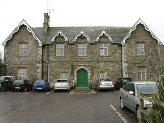 Kinsale Union Workhouseworkhouse · 70 yd
 Burial Gd (Disused)Burial ground · 160 yd
 Enclosure in RathbegEnclosure · 200 yd
 Kinsale Water Workswell · 513 yd
 Battle of KinsaleMajor battlefield · 712 yd
 GaolCastle, tower house · 714 yd
 Graveyard in Abbey-Lands, Part of (kinsale By., Ringcurran Par.)Graveyard · 737 yd
 The Tumble CartHeritage attraction · 841 yd
 Kinsale Ghost ToursHeritage attraction · 844 yd
 James FortVisitor information · 1003 yd
 Tim & Mortimer McCarthy MemorialMemorial · 1153 yd
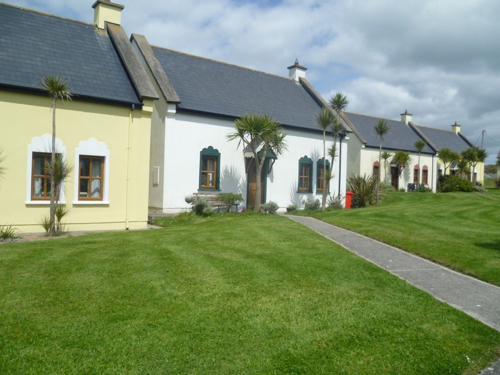 Kinsale Alms HousesVisitor information · 1291 yd