What is recorded here
Listed in the SMR (1989) and classified 'Enclosure'. Not included in the RMP (1995). Depicted on the 1838 edition of the OS 6-inch map as a circular tree-covered enclosure. Shown on the 1941 edition as a small rectanglar field with some trres within the interior. In pasture, in low-lying ground near the base of a slope. A rectangular area enclosed by a fosse (Wth 1m; D 0.4m) with an outer stone wall. It is similar to another tree-ring (SL033-005----) nearby. This is likely to be post-1700 AD in date.
Compiled by: Archaeological Survey Unit, UCC
Date of upload: 11 January 2012
The monument record does not grant public access. Check the route and ask the landowner before entering private land.
- What survives
- Recorded monument
Places near here
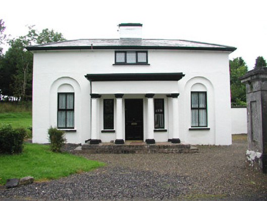 Temple Housegate lodge · 344 yd
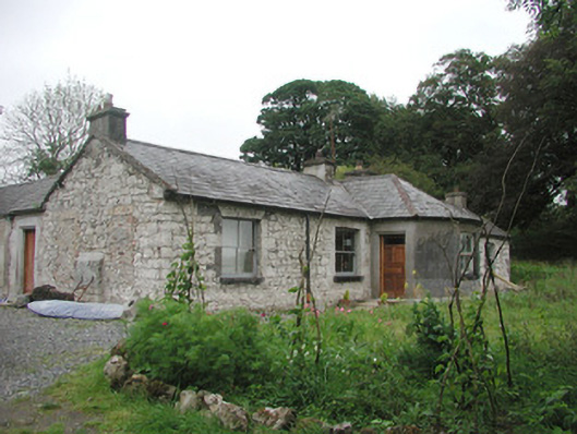 Somertonhouse · 647 yd
 IndicatedBawn · 1233 yd
 CrossCross, High cross · 1249 yd
 ElderElder · 1262 yd
 European ashEuropean ash · 1401 yd
 Enclosure in Rathnarrow (o'hara)Enclosure · 1.1 mi
 RathdoonyCastle, motte · 2.1 mi
 Brother WalfridMemorial · 3.1 mi
 Tullaghan HillMountain / peak · 4.5 mi
 Tymon's HillMountain / peak · 4.7 mi
 Teeling MonumentMemorial · 5.9 mi