
What is recorded here
Indicated is a circular fairy fort on a Mayo ridge where children were once buried, marked by small stones still protruding through the grass. The platform spans thirty-seven metres, bounded by a deep fosse and earth bank that hold the shape against centuries of weather. Hawthorn trees ring the edge like quiet sentinels, watching the steep drop and open sky beyond.
In pasture, located on the level top of a NW–SE ridge, close to the break of slope on the SW side. Level ground extends for c. 30m to NE of the rath then there is a steep fall of ground. There are with panoramic views, restricted at SE by rising ground.
Circular platform (37m E–W; 37.5m N–S) defined by a scarp (ext. H 0.4m at N, 0.7m at S), outside which it is enclosed by a fosse with an external earth and stone bank. A few stones protrude from the top edge of the scarp, possibly representing remnants of a kerb.
The fosse (Wth 4.5-4.8m) is well defined. The external bank (Wth 4.6m at S, 5m at N; int. H 1.5m at S, 1.8m at N; ext. H 1.6m at N and S) is topped at NNW–S by the sod-covered remnants of a drystone field fence, with stone tumble evident on the slopes.
The original entrance may have been at E where there are traces of a causeway across the fosse and a gap, now blocked up, in the external bank. There is also a low area in the scarp at S with a corresponding gap (Wth 1m) in the external bank, but this appears to be a relatively recent break, related to erosion by farm stock.
The interior has a slight slope down to E and S in the SE quadrant. In the NW quadrant there is a shallow irregular shaped grassed-over depression (L 8m E−W; Wth c. 2m; D 0.3m), expanding slightly at its E end.
The rath interior was used of as a children’s burial ground (MA081-012002-); a few small stone protruding from the ground in the S and W part of the interior may be gravemarkers.
The rath interior is grassy; the perimeter is lightly ringed with hawthorn trees.
Compiled by: Jane O’Shaughnessy
Date of upload: 8 December 2021
The monument record does not grant public access. Check the route and ask the landowner before entering private land.
- What survives
- Recorded monument
Places near here
 Rath Castle in ruinsCastle, tower house · 690 yd
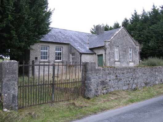 Saint Patrick's National Schoolschool · 1300 yd
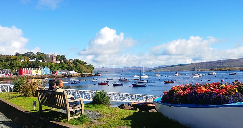 TobercoghlanHoly well · 1419 yd
 Caldragh FortFairy fort / stone ringfort · 1497 yd
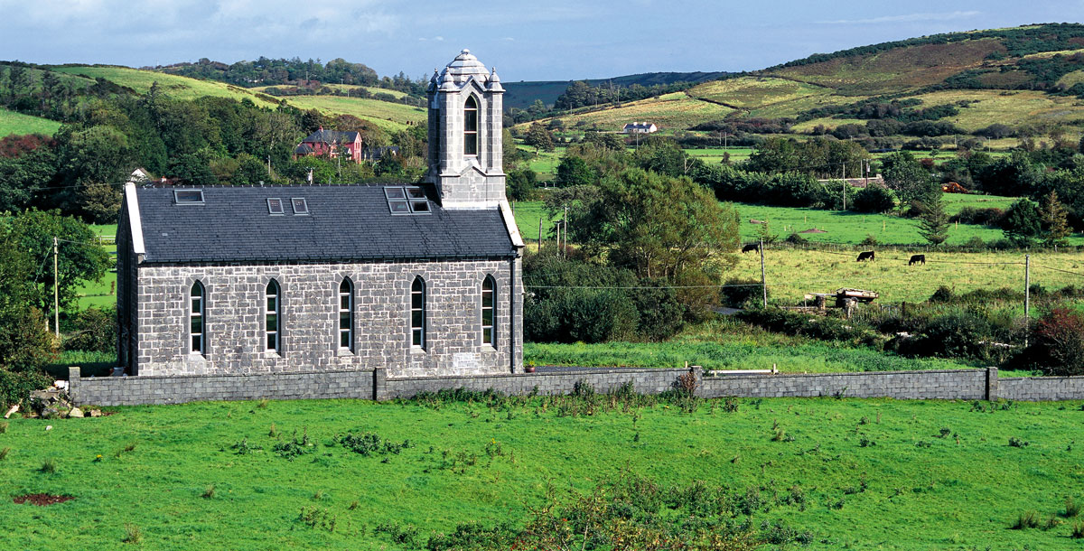 Chapel in ruinsChapel · 1.2 mi
 East Mayo Brigade MonumentMemorial · 1.6 mi
 CastleCastle, unclassified · 2.5 mi
 Knock ShrineHeritage attraction · 5.4 mi
 Knock MuseumMuseum · 5.4 mi
 I'll Send You The FareMemorial · 7.1 mi
 Thorn CaveCave · 7.2 mi
 Bawn IslandIslet · 16 mi
Other information
Photo: Credit not shown in the picture search · Rights wording not checked; contact us if this picture should be removed