
What is recorded here
Caldragh Fort is a ruined stone ringfort on a Mayo knoll, mapped as Calragh Fort since 1838 and still marked by a low circular wall, scattered stones and dense blackthorn. Its exact purpose has faded, but the shape suggests a defended home, a boundary marker or a place where people gathered to watch the wide pasture. The fort may have belonged to a family, a herdsman or a small community, and the children’s burial ground within it hints that life and death were both kept inside the same stone circle.
In undulating pasture, located at the break of slope on the SW side of a knoll, with extensive views in all directions.
Named ‘Calragh Fort’ on the 1838 and 1916 OS 6-inch maps. A circular area (diam. c. 42m NE–SW) enclosed by a ruined drystone wall. The wall survives as a low, sod-covered stony rise (W c. 3m; H 0.5m) with remnants of stone facing, one course high, visible intermittently on the external face around the circuit and at NE on the internal face. Stone tumble from the wall is evident on the steep W slope of the knoll. A later field wall overlies the cashel wall on the S arc.
Set c. 3m inside the cashel wall, a low, poorly defined scarp (H c. 0.5m), stony in parts, can be traced in a semi-circular curve SE−W. It is not clear if this represents remnants of an inner enclosing element or merely the natural contours of the knoll on which the cashel is sited.
The level interior surface is uneven and strewn with stones through-out. In the SW quadrant, a roughly square area (6.5m N–S; c. 8m E-W) is distinguished by a greater concentration of stones, mostly small to medium-sized, barely protruding from ground, some clearly set upright. This may be a children’s burial ground (MA082-011001-). From the W side of this feature a linear depression (Wth 1.3m; D 0.45m), stony in parts, extends for 12m to S to the cashel wall; it is engulfed in overgrowth and difficult to examine. Slightly NW of centre, a wall-like setting (Wth c. 0.8m; H 0.3m) of stones describes an arc (diam. c. 8m) curving NNW–SE. A stony linear feature/possible wall (Wth 0.6m; H 0.2m) extends from the cashel wall at N for 9m to S through the interior. There is no clearly defined entrance to the cashel but, given the contours of the surrounding terrain, it is most likely to have been on the E or SE side.
Dense blackthorn scrub obscures much of the interior, impeding examination; hawthorn trees grow around the perimeter.
Compiled by: Jane O’Shaughnessy
Date of upload: 17 December 2021
Caldragh Fort is a circular early-medieval ringfort, likely dating to between the 6th and 10th centuries, situated on a knoll with strategic views. Local folklore, common to many such sites in Ireland, associates it with the supernatural, possibly as a dwelling place of the "good people" or fairies.
The monument record does not grant public access. Check the route and ask the landowner before entering private land.
- What survives
- Recorded monument
Places near here
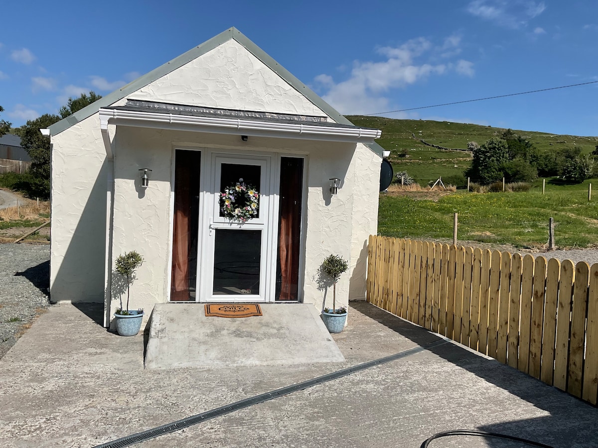 IndicatedFairy fort / stone ringfort · 468 yd
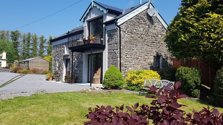 Enclosure in Carrowbaun (costello By.)Enclosure · 546 yd
 Rath Castle in ruinsCastle, tower house · 826 yd
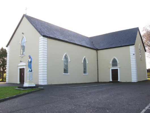 Saint Joseph's Catholic Churchchurch/chapel · 1590 yd
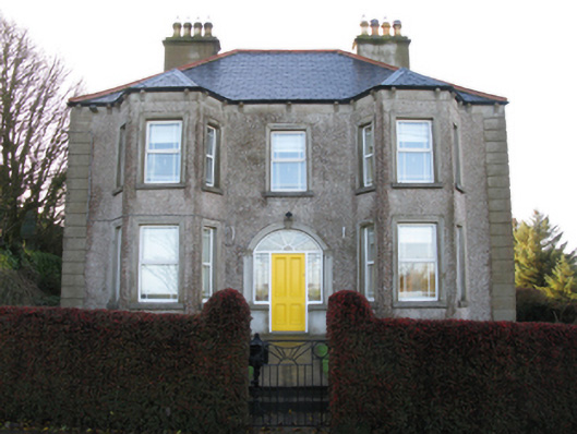 Tighe Achadh Mórhouse · 1619 yd
 CastleCastle, unclassified · 2.1 mi
 East Mayo Brigade MonumentMemorial · 2.4 mi
 Knock ShrineHeritage attraction · 5.4 mi
 Knock MuseumMuseum · 5.4 mi
 I'll Send You The FareMemorial · 7.7 mi
 Thorn CaveCave · 8.0 mi
 Bawn IslandIslet · 16 mi
Other information
Photo: Credit not shown in the picture search · Rights wording not checked; contact us if this picture should be removed