What is recorded here
In pasture, located on a roughly E–W ridge, with panoramic views over the surrounding rolling grassland; Nephin Mountain is visible on the horizon to NW.
Circular platform (5m N–S; 6m E–W; H 0.3m) enclosed by a fosse (Wth 3–3.4m) with an external bank (Wth c. 3m; int. H 0.4m; ext. H 0.45m) of earth and stone. Overall diam. (crest of ext. bank): 14.3m N–S; 15.3m N–S. The external bank has a broad, high external slope (ext. H 1.15m) at N–NE where it merges with the ridge slope; at WSW–N it is truncated on its exterior edge by a modern NE−SW field wall.
Three hawthorn bushes grow on the bank. A rath (MA081-013----) is located c. 100m to NW on the same ridge.
Compiled by: Jane O’Shaughnessy
Date of upload: 8 December 2021
Circular Bronze Age fulacht fiadh, possibly associated with ritual or cooking activities; its location on a prominent ridge suggests strategic or ceremonial significance.
The monument record does not grant public access. Check the route and ask the landowner before entering private land.
- What survives
- Recorded monument
Places near here
 IndicatedFairy fort / earthen ringfort · 155 yd
 Rath Castle in ruinsCastle, tower house · 341 yd
 Caldragh FortFairy fort / stone ringfort · 806 yd
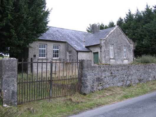 Saint Patrick's National Schoolschool · 1356 yd
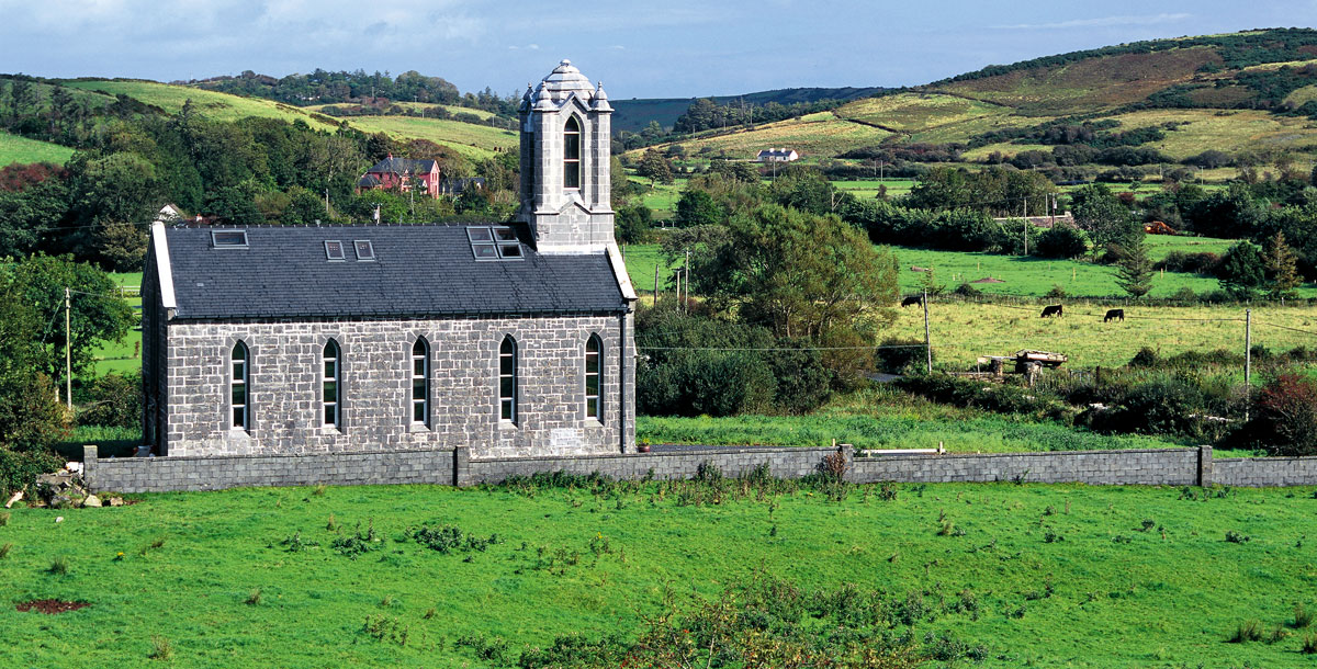 Chapel in ruinsChapel · 1.1 mi
 East Mayo Brigade MonumentMemorial · 2.0 mi
 CastleCastle, unclassified · 2.4 mi
 Knock ShrineHeritage attraction · 5.5 mi
 Knock MuseumMuseum · 5.5 mi
 I'll Send You The FareMemorial · 7.5 mi
 Thorn CaveCave · 7.6 mi
 Bawn IslandIslet · 16 mi