
What is recorded here
In pasture, located on a roughly E–W ridge, close to a break of slope at NE where the ground falls steeply into a valley of wettish ground.
A slightly raised circular area (32.4m E–W; 31.9m N–S) defined by a bank, outside which it is enclosed by a fosse with a possible external bank.
The inner bank (Wth 2.5-3m; int. H 0.45m; ext. H 0.9m at S, 1.4m at NE) is most substantial at NE–SE and incorporates much stones, most likely as a result of its modification to serve as a field boundary; a section at NW–NNW has been quarried out. The fosse (Wth 1m) is evident at SSE–SW as a shallow and unusually narrow depression, and cannot be traced elsewhere. At N a low rise (Wth c. 3.6m; int. H 0.2m; ext. H 0.2m) borders the external edge of the fosse for a length of 7m, and a slight, stony outer rim borders the fosse at S–W, possibly remnants of an external bank. There is a break (Wth 1.2m) in the inner bank at SSE.
The rath interior is built up higher at N–NE to compensate for the ridge slope, and there is a gentle slope down from the centre to E. Much of the NE quadrant has been quarried out to a depth of c. 2m.
The rath interior is grass covered, with a slight encroachment of blackthorn scrub in the W half; hawthorn bushes ring the external bank. A ringbarrow (MA081-014----) is located c. 100m to SE on the same ridge.
Compiled by: Jane O’Shaughnessy
Date of upload: 8 December 2021
The monument record does not grant public access. Check the route and ask the landowner before entering private land.
- What survives
- Recorded monument
Places near here
 Rath Castle in ruinsCastle, tower house · 360 yd
 Caldragh FortFairy fort / stone ringfort · 957 yd
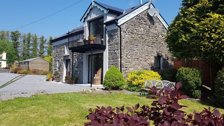 Enclosure in Carrowbaun (costello By.)Enclosure · 1028 yd
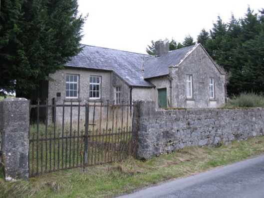 Saint Patrick's National Schoolschool · 1264 yd
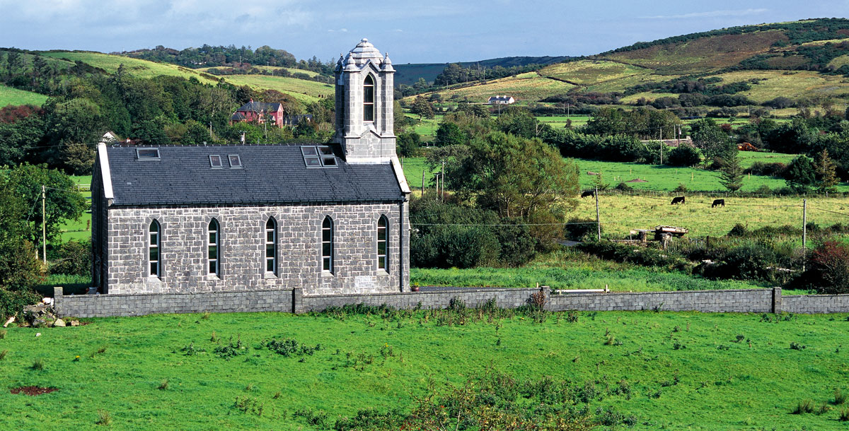 Chapel in ruinsChapel · 1.1 mi
 East Mayo Brigade MonumentMemorial · 1.9 mi
 CastleCastle, unclassified · 2.4 mi
 Knock ShrineHeritage attraction · 5.5 mi
 Knock MuseumMuseum · 5.5 mi
 I'll Send You The FareMemorial · 7.4 mi
 Thorn CaveCave · 7.5 mi
 Bawn IslandIslet · 16 mi
Other information
Photo: Credit not shown in the picture search · Rights wording not checked; contact us if this picture should be removed