What is recorded here
A road running through an area of bogland that is annotated 'Old Togher' on an 18th century estate map of Barbavilla Demesne (NLI, MS 21 F. 48 (009) ). This area of bogland is incorrectly annotated 'Knocknacoitia' on the OS 6-inch map. The hill 'Knocknacoitia' which overlooks Lough Lene is located 300m N of this area of bog.
Compiled by: Caimin O'Brien
Date of upload: 19 July 2019
The monument record does not grant public access. Check the route and ask the landowner before entering private land.
- What survives
- Recorded monument
Places near here
 Hachured, FortfieldFairy fort / earthen ringfort · 595 yd
 Castle IslandIslet · 932 yd
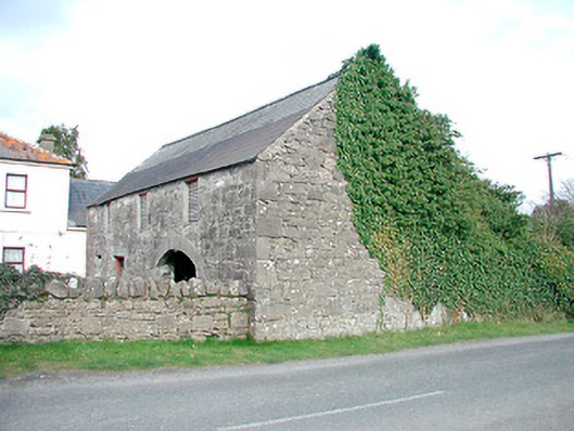 outbuildingoutbuilding · 952 yd
 Saint Mary's Catholic Churchchurch/chapel · 1113 yd
 Hut site in GillardstownHut site · 1347 yd
 South East GateHeritage attraction · 2.0 mi
 Christians Castle in ruinsCastle, unclassified · 2.0 mi
 St Feichin's MillHeritage attraction · 2.1 mi
 MoatCastle, motte and bailey · 2.1 mi
 Ben of ForeMountain / peak · 2.4 mi
 KnockeyonMountain / peak · 3.3 mi
 The FurzeForest · 3.3 mi