What is recorded here
Situated on the SW shore of Lismagonway Lough, now a small oval lake (dims c. 225m N-S; c. 175m E-W) but which could have filled a larger sub-triangular basin (dims c. 410m E-W; c. 350m N-S) represented now by its marshy surrounds. A small island is represented on the 1834 edition of the OS 6-inch map and as attached to the shore on the 1907 edition. It is inaccessible but supports some trees and is probably an artificial cairn.
The above description is derived from the published 'Archaeological Inventory of County Monaghan' (Dublin: Stationery Office, 1986). In certain instances the entries have been revised and updated in the light of recent research.
Revised by: Michael Moore
Date of revision: 18 June 2018
The monument record does not grant public access. Check the route and ask the landowner before entering private land.
- What survives
- Recorded monument
Places near here
 IndicatedFairy fort / earthen ringfort · 470 yd
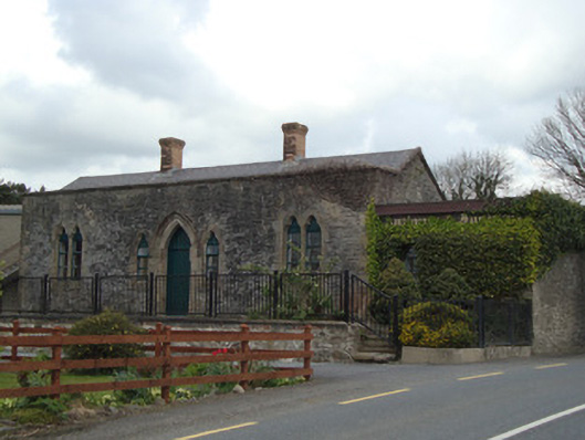 Monaghan Road Railway Stationrailway station · 606 yd
 W. Sloanhouse · 950 yd
 Carrick an AffrinMass-rock · 1231 yd
 LisnaspeenanMountain / peak · 3.4 mi
 Fedd HillMountain / peak · 3.8 mi
 Ballybay Wetland CentreNature reserve · 4.1 mi
 Rabbitburrow WoodWood · 4.4 mi
 Roosky Castle (Site of)Castle, ringwork · 4.9 mi
 Senator Billy Fox 1939 - 1974Memorial · 8.6 mi
 Gull IslandIslet · 11 mi
 Bush IslandIslet · 11 mi