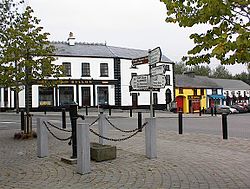
What is recorded here
Shown on the 1st ed. (1839) of the OS 6-inch map as a large circular enclosure (est. max diam. c. 70m), and described some years later by Fitzgerald (1899-1902(f), 150-1) as, ‘a rath of large proportions', with the further comment, ‘This rath-crowned eskar (sic) is at the present time being demolished by road contractors for the sake of its material.' By the time of the latest ed. (1910) of the OS 6-inch map, only the E half of the monument is shown (and named ‘Rathowenbeg’) with a quarry to the W. In 1972, a large sand and gravel quarry occupied the site (SMR file). The area was subsequently reclaimed and is now in level tillage.
Compiled by: Gearóid Conroy
Date of upload: 07 November 2013
A local fairy fort (ringfort/rath); wider significance not recorded.
The monument record does not grant public access. Check the route and ask the landowner before entering private land.
- What survives
- Recorded monument
Places near here
 Enclosure in RahoonbeakEnclosure · 277 yd
 Church in ColbinstownChurch · 443 yd
 Colbinstown Castle (in Ruins)Castle, unclassified · 864 yd
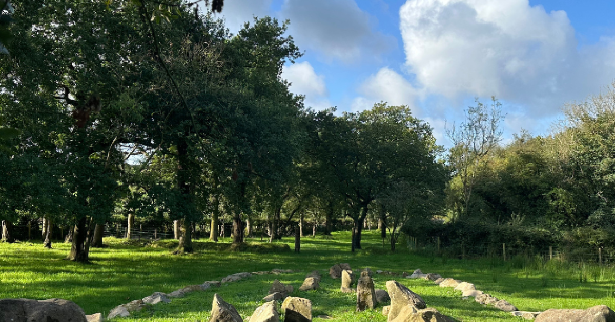 Enclosure in BallintaggartEnclosure · 1050 yd
 Spratstown Fox CovertWood · 1.0 mi
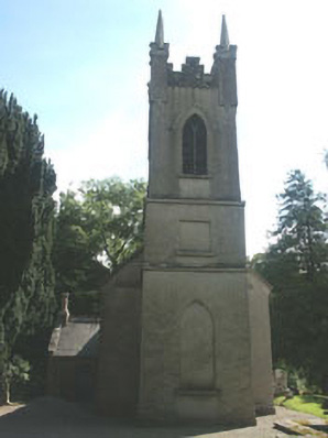 Church of the Ascension (Ballynure)church/chapel · 1.2 mi
 Site of Fair GreenForest · 1.7 mi
 Grangecon Castle (in ruins)Castle, tower house · 1.7 mi
 Memorial to 1798 rebellionMonument · 3.2 mi
 Ballyhook HillMountain / peak · 4.1 mi
 Battle of Kilrushbattle · 4.6 mi
 Burtown House and GardensHeritage attraction · 5.0 mi
Other information
Photo: Credit not shown in the picture search · Rights wording not checked; contact us if this picture should be removed