What is recorded here
Within a housing estate in W suburbs of Galway city, formerly an area of hilly farmland. Indicated on 1st ed. of OS 6-inch map as a short length of arcuate field boundary, it appears on an ASG aerial photograph as a multivallate circular enclosure (D c. 80m). No visible surface trace survives. A 'tunnel' discovered in the area in recent years may be an associated Man-made underground passage. (GBCAS Files)
The above description is derived from the published 'Archaeological Inventory of County Galway Vol. I - West Galway'. Compiled by Paul Gosling (Dublin: Stationery Office, 1993).
Date of upload: 05 August 2010
The monument record does not grant public access. Check the route and ask the landowner before entering private land.
- What survives
- Recorded monument
Places near here
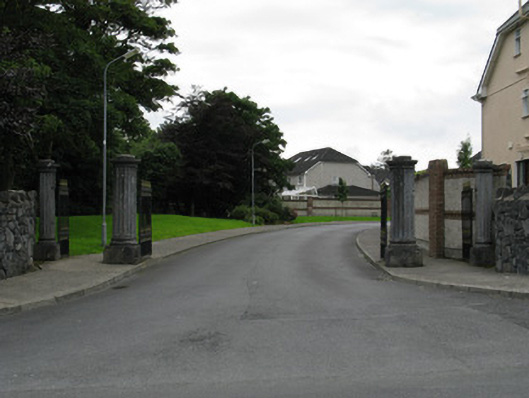 gates/railings/wallsgates/railings/walls · 403 yd
 St. James WellHoly well · 424 yd
 Site of ChurchChurch · 424 yd
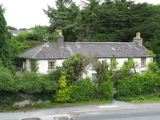 Summerdalehouse · 575 yd
 GinkgoGinkgo · 1652 yd
 James Mitchell Geology MuseumMuseum · 1684 yd
 University of Galway GalleryGallery · 1698 yd
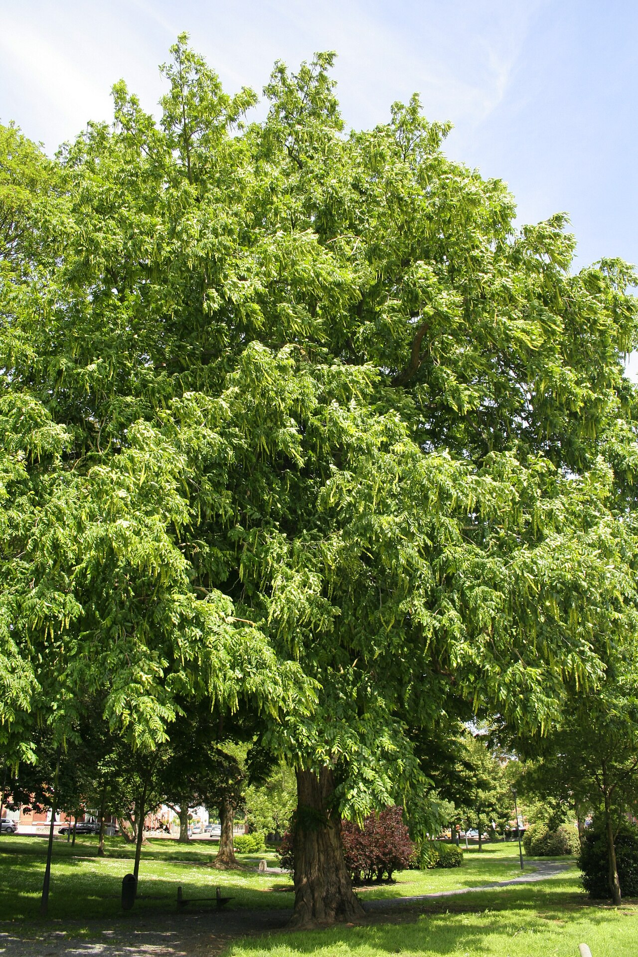 Caucasian WingnutCaucasian Wingnut · 1699 yd
 Walter Macken HouseMemorial · 1.1 mi
 Terryland Castle (in Ruins)Castle, unclassified · 1.1 mi
 Terryland CastleCastle · 1.1 mi
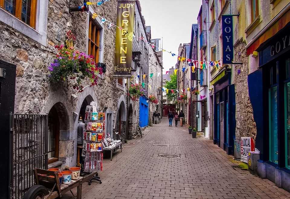 Galway GaolMemorial · 1.2 mi