What is recorded here
Marked as a circular enclosure (diam. c. 35m) on the 1839 ed. of the OS 6-inch map, and situated on an E-facing slope c. 350m SE of a col that has slightly higher ground c. 300m to the N and S. No feature is visible at ground level in pasture. It is also visible on Google Earth (14/07/2018).
See the attached enhanced view from Google Earth (2018).
The above description is derived from the published 'Archaeological Inventory of County Wexford' (Dublin: Stationery Office, 1996). In certain instances the entries have been revised and updated in the light of recent research.
Compiled by: Michael Moore
Date of upload/revision: 15 June, 2012
Amended: 26 July 2021
The monument record does not grant public access. Check the route and ask the landowner before entering private land.
- What survives
- Recorded monument
Places near here
 IndicatedRoad, road/trackway · 479 yd
 Enclosure in GlenrannyEnclosure · 869 yd
 Enclosure in KnockskemolinEnclosure · 1246 yd
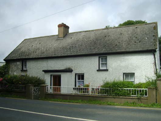 farm housefarm house · 1420 yd
 Oulart HillMountain / peak · 1642 yd
 Kilnamanagh Grave YardArchaeological place · 1.1 mi
 The HarrowMemorial · 1.2 mi
 Battle of Oulart Hill signVisitor information · 1.4 mi
 Fontainebleau service treeFontainebleau service tree · 1.4 mi
 Birds of PreyVisitor information · 1.7 mi
 Father Murphy CentreHeritage attraction · 2.1 mi
 Ballingowan MoteCastle, motte · 3.3 mi