
What is recorded here
Situated on a NE-facing slope. A faint cropmark of circular enclosure (diam. c. 40m) is visible on aerial photographs (MM (13) 12–14), but it is rather uncertain. However, the faint cropmark of an oval enclosure (dims c. 39m E-W; 35m N-S) is more is more clearly visible on Google Earth (14/07/2018) as was first reported by Simon Dowling. It is divined by a NNW-SSE fence, and the defining feature can barely be seen E of this.
See the attached enhanced view from Google Earth
The above description is derived from the published 'Archaeological Inventory of County Wexford' (Dublin: Stationery Office, 1996). In certain instances the entries have been revised and updated in the light of recent research.
Compiled by: Michael Moore
Date of revision: 15 June, 2012
Amended: 6 March, 2020
The monument record does not grant public access. Check the route and ask the landowner before entering private land.
- What survives
- Recorded monument
Places near here
 IndicatedRoad, road/trackway · 750 yd
 Enclosure in KnockskemolinEnclosure · 1.0 mi
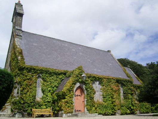 Saint John's Church (Kilnamanagh)church/chapel · 1.2 mi
 Oulart HillMountain / peak · 1.2 mi
 St Cormicks WellHoly well · 1.5 mi
 Fontainebleau service treeFontainebleau service tree · 1.5 mi
 The HarrowMemorial · 1.6 mi
 Kilthomas HillMemorial · 1.6 mi
 Battle of Oulart Hill signVisitor information · 1.7 mi
 Father Murphy CentreHeritage attraction · 1.7 mi
 Birds of PreyVisitor information · 1.8 mi
 The CoilWood · 3.1 mi
Other information
Photo: Credit not shown in the picture search · Rights wording not checked; contact us if this picture should be removed