
What is recorded here
Indicated, Raheenbeg is a ringwork castle on a natural grassland rise in County Tipperary, Ireland. Its broad platform still stands above the surrounding field, marked by a shallow scarp and an old quarry cut into the south quadrant. The view stretches in every direction, suggesting the site was chosen to be seen before it was meant to hide.
In grassland atop natural rise of ground in undulating grassland with good views in all directions. Ringwork consists of a raised platform (diam. 33m N-S; 35m E-W) defined by a scarp (H 1.5m) with a small old quarry (D 1.4m; 10m N-S x 20m E-W) which is depicted on the 1840 ed. OS 6-inch map in S quadrant. Platform intersected by a field boundary at S on an E-W axis. Well-preserved platform with evidence of quarrying in S quadrant and on the external face of the scarp at NW. No entrance feature visible.
Compiled by: Jean Farrelly
Date of upload: 26 August 2011
The monument record does not grant public access. Check the route and ask the landowner before entering private land.
- What survives
- Recorded monument
Places near here
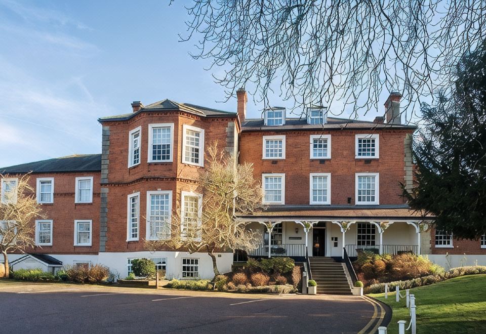 Enclosure in LongfieldEnclosure · 613 yd
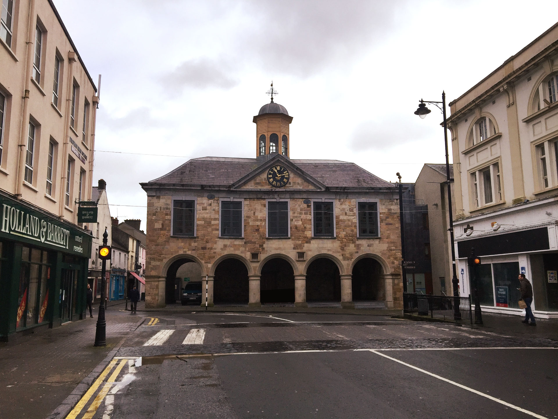 IndicatedCastle, ringwork and bailey · 731 yd
 Nodstown CastleCastle, tower house · 763 yd
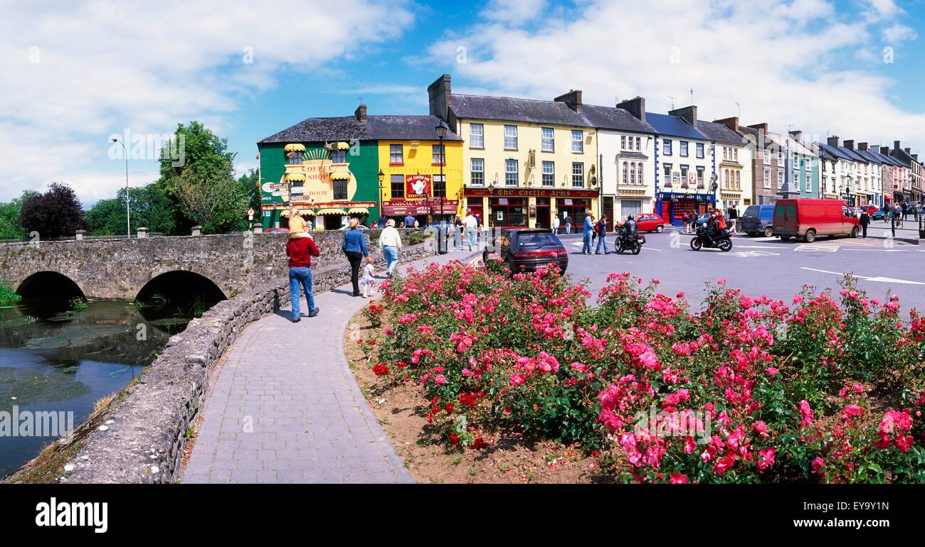 ToberaphaddreenHoly well · 1008 yd
 Catholic Church of the Immaculate Conceptionchurch/chapel · 1551 yd
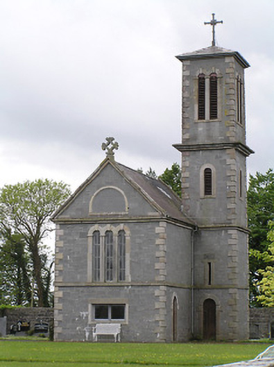 Saint Catherine's Catholic Chapelchurch/chapel · 1578 yd
 Clonoulty HillMountain / peak · 3.0 mi
 Ballyknock HillMountain / peak · 3.8 mi
 Rock of CashelHeritage attraction · 4.4 mi
 Cormac's ChapelHeritage attraction · 4.4 mi
 The Rock Of CashelVisitor information · 4.4 mi
 Black mulberryBlack mulberry · 4.6 mi
Other information
Photo: Credit not shown in the picture search · Rights wording not checked; contact us if this picture should be removed