
What is recorded here
Enclosure around nineteenth century burial ground (OF017-005002-) appears to pre date the burial ground. On the first edition of the OS 6-inch map the enclosure is depicted as a circular enclosure or a possible ringfort. Possible ringfort that may have been converted into a paupers graveyard in the 19th century.
The above description is derived from the published 'Archaeological Inventory of County Offaly' (Dublin: Stationery Office, 1997). In certain instances the entries have been revised and updated in the light of recent research.
Date of upload: 23 May 2011
A local fairy fort (ringfort/rath); wider significance not recorded.
The monument record does not grant public access. Check the route and ask the landowner before entering private land.
- What survives
- Recorded monument
Places near here
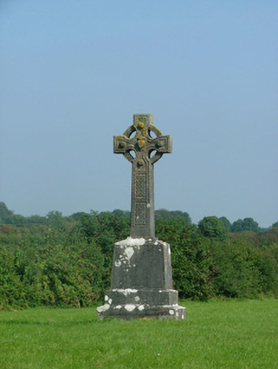 crosscross · 13 yd
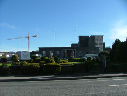 Tullamore General Hospitalhospital/infirmary · 539 yd
 Grand Canal WayWalking route · 1385 yd
 Bawn in BallydrohidBawn · 1712 yd
 Srah CastleRuins · 1723 yd
 Enclosure in Ballydrohid,ballynagh,srah (ballycowan By.)Enclosure · 1.1 mi
 Field system in Ballydrohid,ballynagh,srah (ballycowan By.)Field system · 1.2 mi
 Ballyduff WoodForest · 1.3 mi
 Pedunculate OakPedunculate Oak · 1.7 mi
 Christ's WellSpring · 2.1 mi
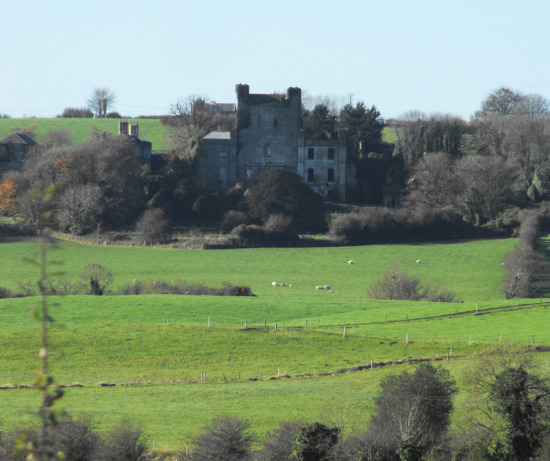 St O'Hara's HillMountain / peak · 3.0 mi
 St. Columba's WellSpring · 3.0 mi
Other information
Photo: Credit not shown in the picture search · Rights wording not checked; contact us if this picture should be removed