
What is recorded here
In the grounds of the former Inch House, c. 140m S of the house. Indicated as a limekiln on the 1st (1839) ed. OS 6-inch map and on the 25-inch OS map. There is a ringwork (KK019-103----) c. 190m to the ENE.
Compiled by: Jean Farrelly
Date of upload: 19 October 2020
The monument record does not grant public access. Check the route and ask the landowner before entering private land.
- What survives
- Recorded monument
Places near here
 Inch Saw Millsmill (water) · 314 yd
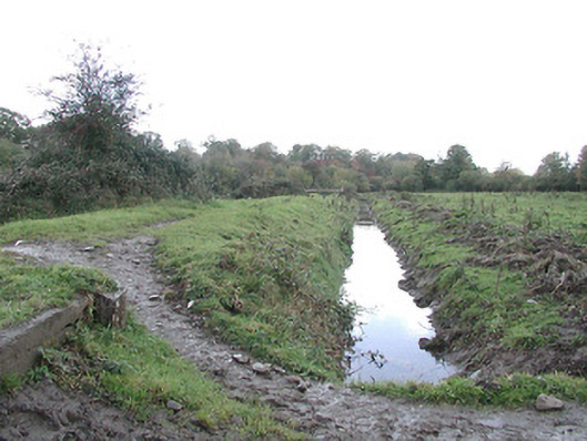 canal (section of)canal (section of) · 413 yd
 Enclosure in WarringtonEnclosure · 711 yd
 Saint Molagga's WellSpring · 823 yd
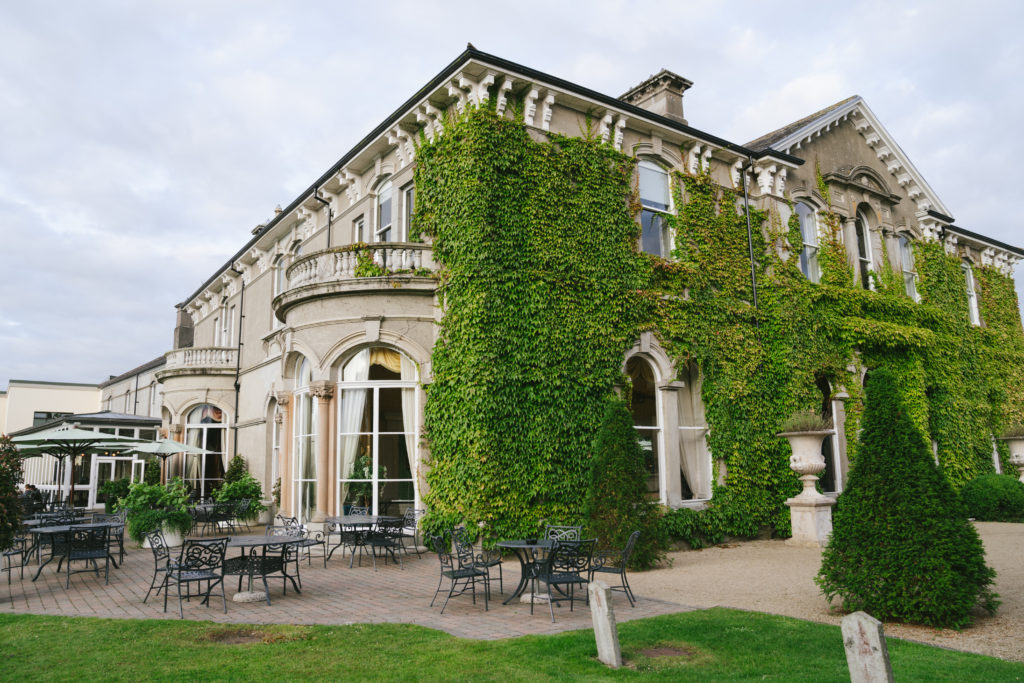 Enclosure in LavistownEnclosure · 843 yd
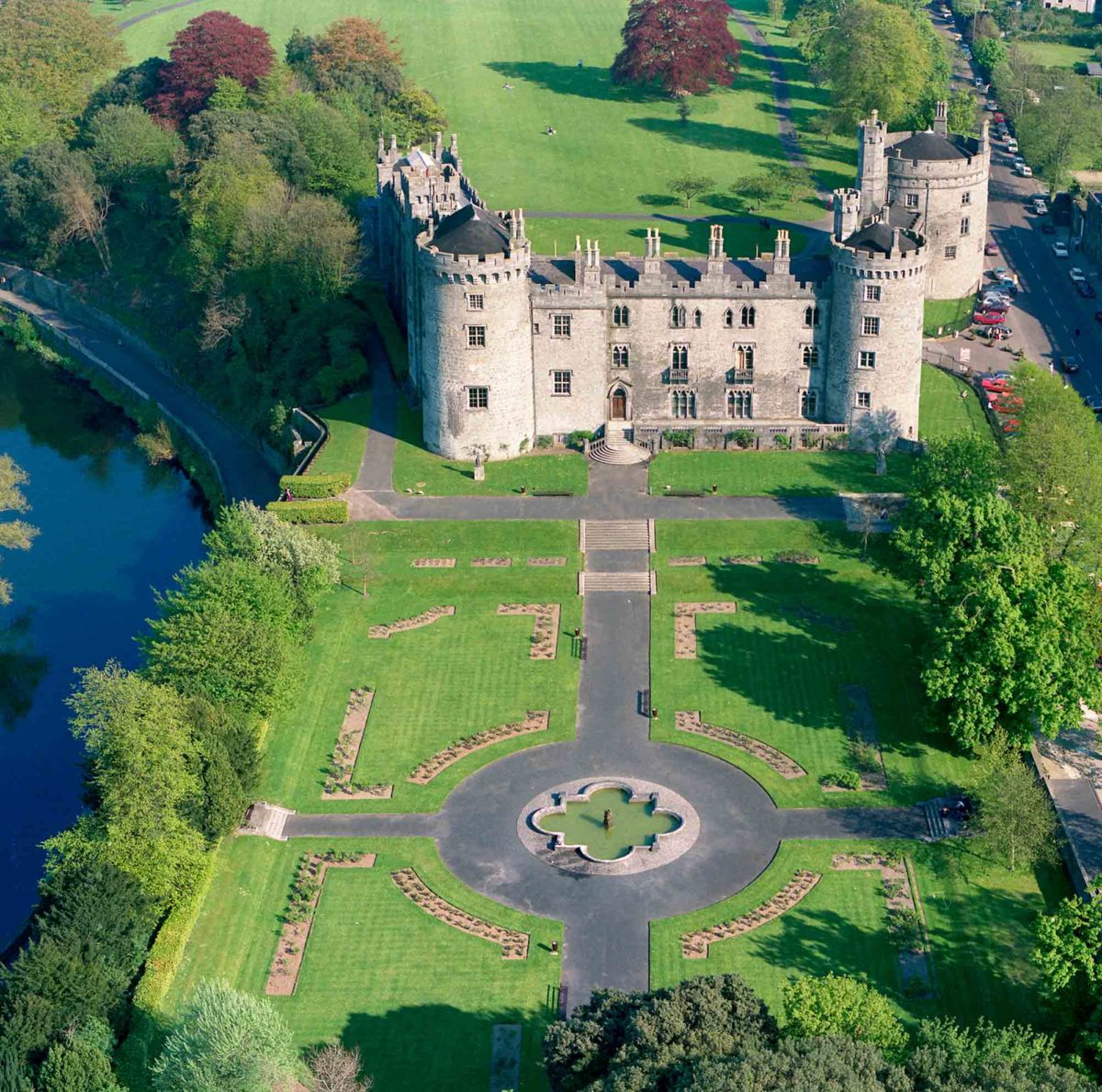 Site of Lavistown CastleCastle, unclassified · 1329 yd
 Ivan PowerMemorial · 1741 yd
 Michael CarthyMemorial · 1.0 mi
 Kilkenny County Council Car ParkVisitor information · 1.5 mi
 KilkennyVisitor information · 1.5 mi
 Grace's Old CastleCastle · 1.9 mi
 Stephens Barracks MuseumMuseum · 1.9 mi
Other information
Photo: A.-K. D. · CC BY-SA 4.0