
What is recorded here
In tillage. A D-shaped enclosure identified as a cropmark on an aerial photograph (CUCAP BGG029,k 16 July 1971). The E side of the enclosure is defined by a straight-sided fosse (L c. 35m) with a curvilinear fosse extending westward (diam. c.30m) from this.
Compiled by: Jean Farrelly
Date of upload: 6 October 2020
The monument record does not grant public access. Check the route and ask the landowner before entering private land.
- What survives
- Recorded monument
Places near here
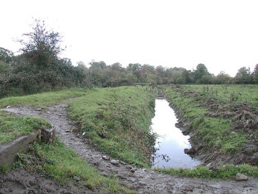 canal (section of)canal (section of) · 368 yd
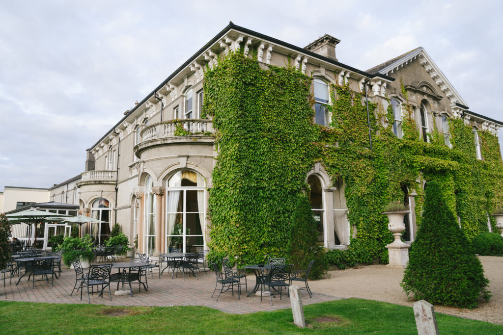 Enclosure in LavistownEnclosure · 651 yd
 Inch Saw Millsmill (water) · 675 yd
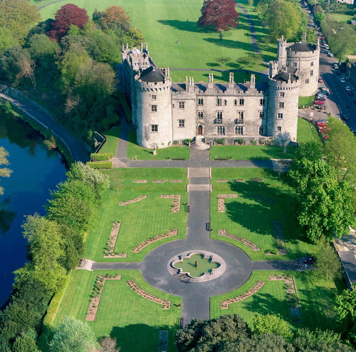 Site of Lavistown CastleCastle, unclassified · 972 yd
 Architectural fragment in MaddockstownArchitectural fragment · 1156 yd
 Saint Molagga's WellSpring · 1531 yd
 Site of Raheenmore CastleCastle, unclassified · 1.0 mi
 Ivan PowerMemorial · 1.2 mi
 Michael CarthyMemorial · 1.3 mi
 Kilkenny County Council Car ParkVisitor information · 1.9 mi
 KilkennyVisitor information · 1.9 mi
 Medieval Mile MuseumMuseum · 2.1 mi
Other information
Photo: Credit not shown in the picture search · Rights wording not checked; contact us if this picture should be removed