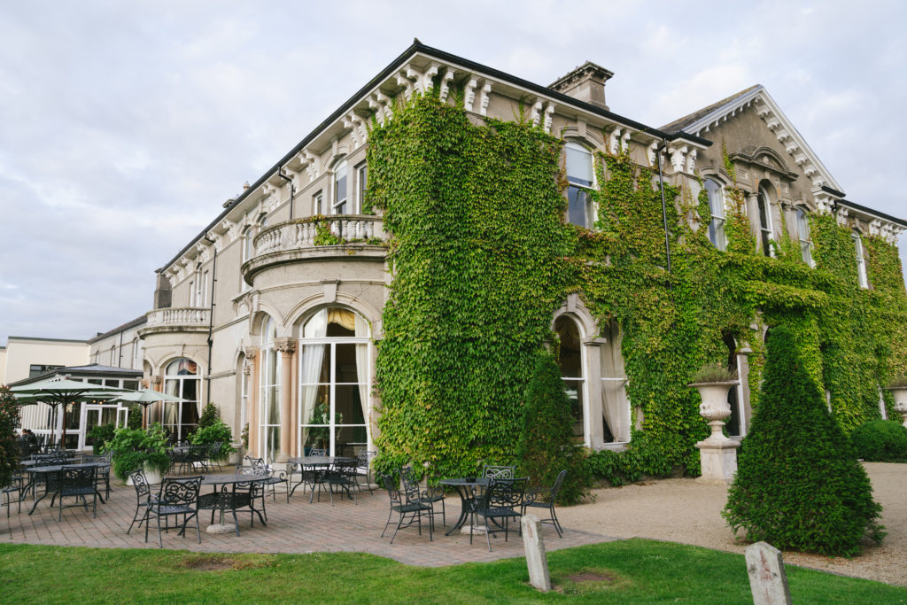
What is recorded here
On a ridge overlooking the River Nore which flows c. 160m to the SW, in pasture. An aerial photograph (GB89.V.12, 13 July 1989) shows cropmark of a curvilinear enclosure (diam. c. 30m) defined by a fosse. A rectilinear enclosure (KK019-115----) is located immediately to the NW.
Compiled by: Dr. Gillian Barrett for the Archaeological Survey of Ireland and Jean Farrelly
Date of revised upload: 20 October 2020
The monument record does not grant public access. Check the route and ask the landowner before entering private land.
- What survives
- Recorded monument
Places near here
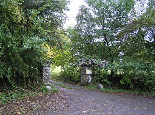 Lavistown Housegates/railings/walls · 385 yd
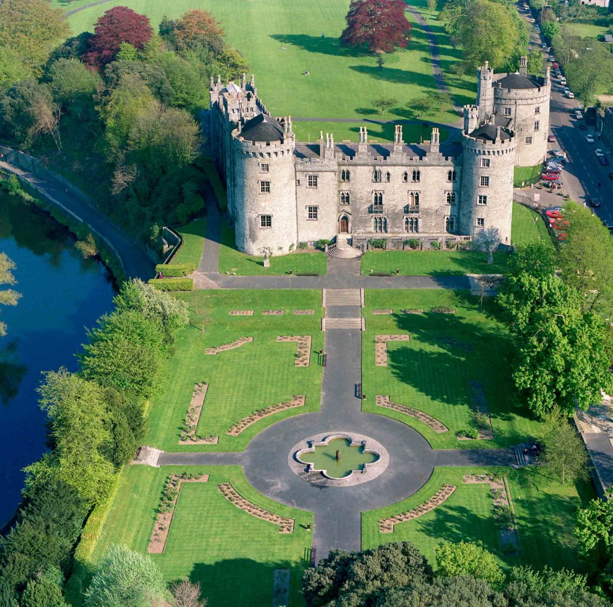 Site of Lavistown CastleCastle, unclassified · 489 yd
 Enclosure in WarringtonEnclosure · 651 yd
 Enclosure in Lyrath (gowran By., Clara Ed)Enclosure · 714 yd
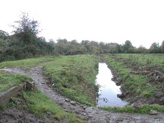 canal (section of)canal (section of) · 812 yd
 Site of Raheenmore CastleCastle, unclassified · 1162 yd
 Saint Molagga's WellSpring · 1558 yd
 Ivan PowerMemorial · 1.5 mi
 Michael CarthyMemorial · 1.5 mi
 Kilkenny AirsoftHeritage attraction · 1.8 mi
 Kilkenny County Council Car ParkVisitor information · 2.0 mi
 KilkennyVisitor information · 2.0 mi
Other information
Photo: Credit not shown in the picture search · Rights wording not checked; contact us if this picture should be removed