
What is recorded here
In an area between the Wilderness and W of Powerstown Racecourse. No visible trace at ground level. The enclosure is indicated as a stand of trees on the 1st (1840) ed. OS 6-inch map and on the 1950-53 ed. as a hachured circle (diam. c. 50m), with a gap in NW and SW quadrants. Though the enclosure could not be discerned, it appears to have been truncated by a field boundary running roughly N-S. In a sketch plan and section drawn in 1951 it appears as on the 2nd ed. OS 6-inch map, and the accompanying description notes that it was locally known as a 'fort' and that 'Portion of the fosse was removed some years ago in making the old Powerstown Race course, which runs through it' (OS Field Memorandums).
Compiled by: Jean Farrelly
Date of upload: 26 August 2011
This remains an important historical record, but the official description says the monument is no longer visible or has been destroyed. The monument record does not grant public access. Check the route and ask the landowner before entering private land.
- What survives
- No visible remains or recorded as destroyed
Places near here
 The WoodsForest · 225 yd
 Enclosure in Burgagery-Lands EastEnclosure · 942 yd
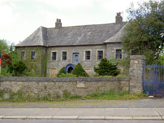 Silversprings Housecharter school · 1020 yd
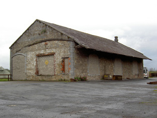 Clonmel Railway Stationstore/warehouse · 1083 yd
 LIT Anchor MonumentMonument · 1499 yd
 Tipperary Museum of Hidden HistoryMuseum · 1622 yd
 Bawn in PowerstownBawn · 1626 yd
 Vincent HanleyMemorial · 1650 yd
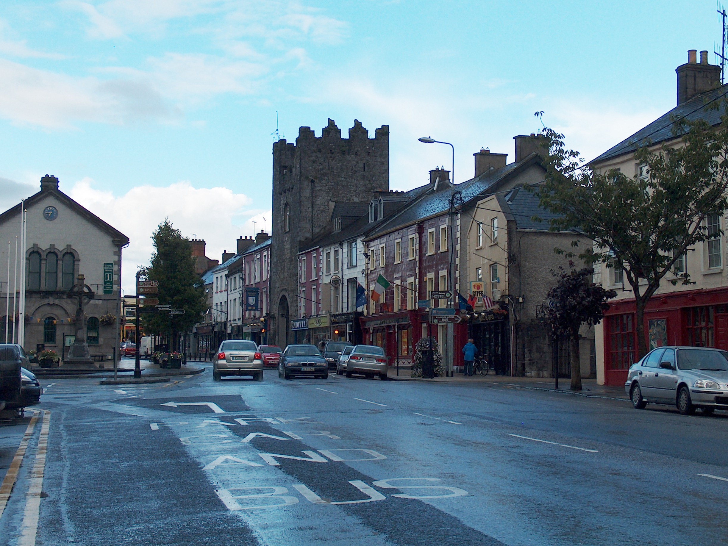 Mick Delahunty SquareMemorial · 1690 yd
 Monkey-puzzleMonkey-puzzle · 1.0 mi
 Main GuardHeritage attraction · 1.1 mi
 Kilgainy Castle (in ruins)Castle, tower house · 1.1 mi
Other information
Photo: Credit not shown in the picture search · Rights wording not checked; contact us if this picture should be removed