What is recorded here
Indicated is a rectangular moated site in County Cork, Ireland, measuring 41m E-W and 38m N-S, with an earthen bank and external fosse. Local information calls it the 'square fort', while two ringforts sit nearby to the east and south-southeast. The interior is now planted with trees and blocked by overgrowth, hiding whatever life once filled the square space.
In level pasture. Rectangular area (41m E-W; 38m N-S) enclosed by earthen bank (int. H 0.5m) with external fosse (D 0.9m; Wth 3.4m). Bank broken by disused trackway at NW and SW corners. Fosse deepened on W side to form drain. Interior planted with trees; inaccessible due to overgrowth. According to local information, called the 'square fort'. Ringforts (12821,12822) c. 40m to E and c. 70m to SSE respectively.
The above description is derived from the published 'Archaeological Inventory of County Cork. Volume 4: North Cork' (Dublin: Stationery Office, 2000). In certain instances the entries have been revised and updated in the light of recent research.
Date of upload/revision: 14 January 2009
The monument record does not grant public access. Check the route and ask the landowner before entering private land.
- What survives
- Recorded monument
Places near here
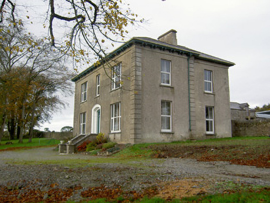 Powerstown Househouse · 519 yd
 Saint Craunacht's Roman Catholic Churchmonument · 771 yd
 IndicatedEnclosure · 1625 yd
 Fulacht fia in Dromdeer WestFulacht fia · 1.2 mi
 Scots PineScots Pine · 1.9 mi
 Pedunculate OakPedunculate Oak · 2.1 mi
 Doneraile Courtornamental canal/lake · 2.3 mi
 Shanballymore Castle (Site of)Castle, unclassified · 3.4 mi
 Anne's Grove GardensHeritage attraction · 3.5 mi
 Ruane Castle (Site of)Castle, unclassified · 4.0 mi
 In loving memory of Elvis O'DonoghueMemorial · 5.9 mi
 Mallow River TrailVisitor information · 6.0 mi