What is recorded here
In pasture, on S-facing slope; ground falls away steeply to E. Depicted as trapezoidal area (c. 35m E-W; c. 25m N-S) enclosed by broken line and line of trees on 1842 OS 6-inch map; E side slightly convex. Levelled; no visible surface trace of site.
The above description is derived from the published 'Archaeological Inventory of County Cork. Volume 4: North Cork' (Dublin: Stationery Office, 2000). In certain instances the entries have been revised and updated in the light of recent research.
Date of upload/revision: 14 January 2009
The monument record does not grant public access. Check the route and ask the landowner before entering private land.
- What survives
- Recorded monument
Places near here
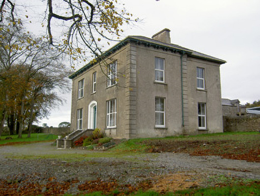 Powerstown Househouse · 297 yd
 Johnsgrove Househouse · 361 yd
 Fulacht fia in Dromdeer WestFulacht fia · 1.2 mi
 Fulacht fia in SkenakillaFulacht fia · 1.5 mi
 Scots PineScots Pine · 2.2 mi
 Pedunculate OakPedunculate Oak · 2.2 mi
 Doneraile HouseHeritage attraction · 2.7 mi
 Shanballymore Castle (Site of)Castle, unclassified · 3.0 mi
 Anne's Grove GardensHeritage attraction · 3.1 mi
 Ruane Castle (Site of)Castle, unclassified · 3.6 mi
 Blackwater (Avondhu) WayWalking route · 6.0 mi
 Knocknaskagh North TopMountain / peak · 6.5 mi