What is recorded here
Situated at a break in a marked E-facing slope on Djouce Mountain. The eastern half a circular enclosure (diam. c. 30m), defined by a slight earthen bank (Wth 3m; H 0.7m).
From the National Monuments Service (Archaeological Survey of Ireland) record WI012-003
The monument record does not grant public access. Check the route and ask the landowner before entering private land.
- What survives
- Recorded monument
Places near here
Photo credits
- Sarah777 at English Wikipedia, Wikimedia Commons · Public domain
- Pierre Terre, Geograph · CC BY-SA 2.0
- Draceane, Wikimedia Commons · CC BY-SA 3.0
- Mike Murphy ( talk · contribs ), Wikimedia Commons · CC BY-SA 3.0
- Simon Mortimer, Geograph · CC BY-SA 2.0
- National Inventory of Architectural Heritage
- Tszabon, Wikimedia Commons · CC BY-SA 3.0
- jwd, Geograph · CC BY-SA 2.0
- Carroll Pierce, Geograph · CC BY-SA 2.0
 DjouceMountain / peak · 784 yd
 White HillMountain / peak · 1.0 mi
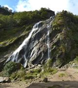 Powerscourt WaterfallWaterfall · 1.2 mi
 Giant Sequoia1.3 miGiant Sequoia1.3 mi
 Deerpark TrailWalking route · 1.4 mi
 J.b. Malone MemorialMemorial · 1.9 mi
 Luggala LodgeHunting/fishing lodge · 2.1 mi
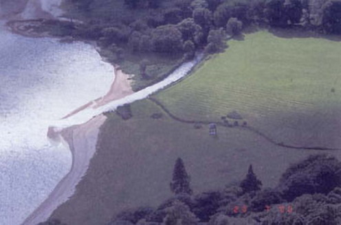 Luggala LodgeFolly · 2.1 mi
 Lough TayMountain lake · 2.4 mi
 Source of River LiffeySpring · 3.1 mi
 The Sugar Loaf WayWalking route · 3.7 mi
More archaeology and monuments in County Wicklow · All of County Wicklow
What do you know about this place?