What is recorded here
On the E side of the road leading S from Killarney, 300m SE of Flesk Bridge. A square building (5m x 5m; H c. 8m; walls 0.6m thick) with an attached circular tower, containing a spiral stone stairs (int. diam. c. 1.35m), midway along its N side (see plans in Bary 1996, 32). It has a cruciform slate roof with each wall rising to a gable, and contains two floors with an attic; the building was partially restored in the mid-1990s. The ground floor window on the W wall incorporates a limestone sill from a mullioned window, and two chamfered jambs. These are of late 16th/early 17th-century date. Some of the quoin stones have similar tooling marks and are probably of the same date. However, the building itself appears to be a late-18th/early-19th century ornamental tower, but incorporating these earlier fragments whose origin is unknown.
Compiled by: Elizabeth Byrne, Ursula Egan and Sheila Ronan, Archaeological Survey Unit, University College, Cork.
Date of upload: 31 January 2011
The monument record does not grant public access. Check the route and ask the landowner before entering private land.
- What survives
- Recorded monument
Places near here
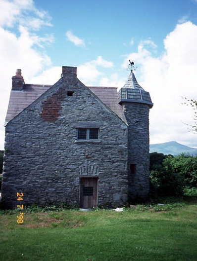 castle/fortified housecastle/fortified house · 14 yd
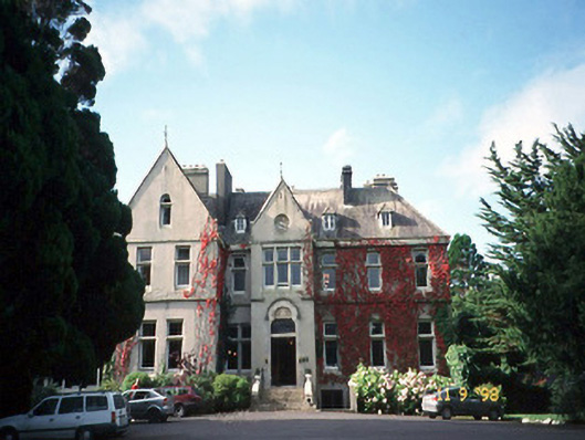 Cahernane Housecountry house · 464 yd
 Enclosure in Cahernane (magunihy By., Killarney Par.)Enclosure · 702 yd
 McCarthy Mor CastleCastle · 982 yd
 IndicatedFairy fort / earthen ringfort · 986 yd
 The WildernessForest · 1455 yd
 Killarney First World War MemorialMemorial · 1552 yd
 Jaunting ToursHeritage attraction · 1578 yd
 Monsignor Hugh O'Flaherty MemorialMemorial · 1589 yd
 Castlelough BayBay · 1639 yd
 Sheheree Bog Nature ReserveNature reserve · 1.0 mi
 Swallow IslandIslet · 1.1 mi