What is recorded here
In pasture, on a low wooded hill with commanding views over the surrounding countryside including Killarney, its lakes and mountains. An arc (L c. 15m), formed by the remains of a possible inner earthen bank (Wth 3.6mm; int. H 0.3m; ext. H 0.6m) W-WNW, a possible intervening fosse (Wth c. 4m) W-WNW and the remains of an outer bank (L c. 50m; Wth 2.2m; int. H 0.5m; ext. H 0.2m) WSW-NW, indicate the remains of a rath (diam. c. 50m). The interior surface is very uneven. Mature deciduous trees, some leaning or fallen, occupy the interior and the remaining enclosing elements along the W arc. The location of the possible rath is indicated on the 1846 OS 6-inch map as a roughly subrectangular area of scrub in the townland of Listymurragh. On the 1939 OS 6-inch map this area is named 'Listy Clump' and consists of a pear shaped enclosure (dims.: L c. 85m N-S; max. Wth c. 60m E-W). This appears to be the rath mentioned in a letter to R.A.S. Macalister, dated 28 December 1931, from the then landowner, a Mr. Hilliard who described it as 'very large' and of 'the usual type' (SMR file).
In pasture, on a low wooded hill with commanding views over the surrounding countryside including Killarney, its lakes and mountains. An arc (L c. 15m), formed by the remains of a possible inner earthen bank (Wth 3.6mm; int. H 0.3m; ext. H 0.6m) W-WNW, a possible intervening fosse (Wth c. 4m) W-WNW and the remains of an outer bank (L c. 50m; Wth 2.2m; int. H 0.5m; ext. H 0.2m) WSW-NW, indicate the remains of a…
From the National Monuments Service (Archaeological Survey of Ireland) record KE066-086
The monument record does not grant public access. Check the route and ask the landowner before entering private land.
- What survives
- Recorded monument
Places near here
Photo credits
- National Inventory of Architectural Heritage
- Neville Goodman, Geograph · CC BY-SA 2.0
- Mike Searle, Wikimedia Commons · CC BY-SA 2.0
- National Library of Ireland on The Commons, Wikimedia Commons · No restrictions
- Marathon, Geograph · CC BY-SA 2.0
- Peter Gerken, Geograph · CC BY-SA 2.0
- NicholasH, Wikimedia Commons · CC BY-SA 4.0
- Sitomon, Wikimedia Commons · CC BY-SA 2.0
- Maria Teresa Satta, Wikimedia Commons · CC BY-SA 4.0
- Humphrey Bolton, Geograph · CC BY-SA 2.0
- Ian S, Wikimedia Commons · CC BY-SA 2.0
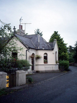 Coolclogher HouseGate lodge · 267 yd
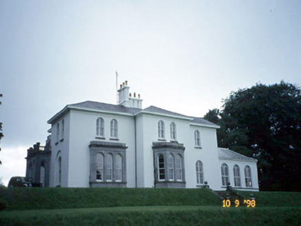 Coolclogher HouseCountry house · 496 yd
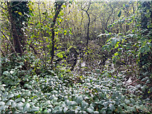 Sheheree Bog Nature ReserveNature reserve · 1063 yd
 Flesk CastleCastle · 1193 yd
.jpg/250px-Its_a_castle..._or_is_it%3F%3F%3F%3F_The_McCarthy_M%C3%B3r_Castle_in_Killarney,_Co._Kerry_(16037295350).jpg "Photo: National Library of Ireland on The Commons, Wikimedia Commons · No restrictions") McCarthy Mor CastleCastle · 1293 yd
McCarthy Mor CastleCastle · 1293 yd Monsignor Hugh O'Flaherty MemorialMemorial · 1.1 mi
 Castlelough BayBay · 1.2 mi
 Muckross AbbeyHeritage attraction · 1.4 mi
 European Yew1.4 mi
 Lissivigeen Stone CircleHeritage attraction · 1.5 mi
 River WalkWalking route · 1.7 mi
 Cow IslandIsland · 1.8 mi
More archaeology and monuments in County Kerry · All of County Kerry
What do you know about this place?