What is recorded here
Situated on E-facing slope of a gentle rise, in gently undulating pasture. Depicted on the revised 1913 ed. OS 25-inch map as a long rectangular-shaped earthwork. Monument described in 1971 as a long rectilinear-shaped area (dims. 45.2m NE-SW; 23.5m NW-SE) enclosed by an earthen bank and external fosse. The bank is substantial and is steep on the exterior on all sides except where it is almost reduced to a scarp along the NE half of the NW side. There are the remains of a wide external fosse which is best preserved along the NW and NE sides. The fosse is absent along the NE side where cut by a modern field fence running NW-SE. The fosse is infilled for the most part along the SE side, which is quite disturbed. There is a large modern gap in the SE side and in the SW corner. The original entrance is not recognisable. There is a modern hole at the base of the bank at the SW corner and part of the ground is quarried away outside the W corner. The interior has a gentle ENE-facing slope and has a small, circular-shaped flat-topped low mound in the E corner, which appears modern. According to Lucas (1970, 157), a blue glass bead was found in the surface soil approximately 20ft from this monument. Monument is visible today as a long rectangular-shaped tree-lined earthwork on Digital Globe aerial photography.
See attached profile of monument surveyed and drawn by the ASI.
Compiled by Alison McQueen, Vera Rahilly and Caimin O’Brien.
Date of upload: 06 November 2019
The monument record does not grant public access. Check the route and ask the landowner before entering private land.
- What survives
- Recorded monument
Places near here
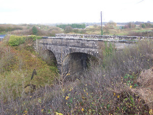 bridgebridge · 404 yd
 Footy's Bridgebridge · 435 yd
 Partially hachuredFairy fort / earthen ringfort · 627 yd
 Hut site in BallinlaHut site · 637 yd
 CastleCastle, unclassified · 1278 yd
 Heathstown CastleCastle, tower house · 1.1 mi
 ScregganWood · 7.0 mi
 Abandoned Kinnegad CanalWood · 7.1 mi
 Croppies' GraveMemorial · 8.1 mi
 25th Locklock · 502 yd
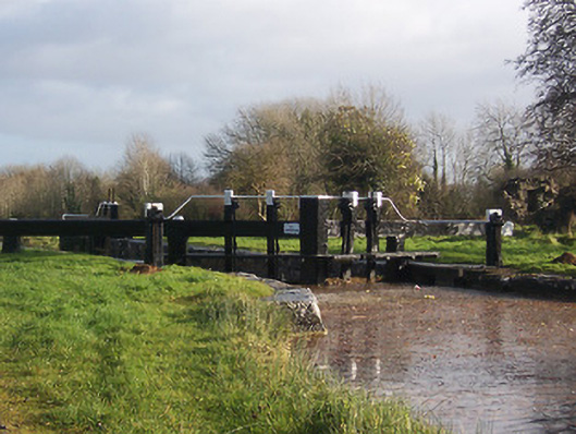 24th Locklock · 724 yd
 Ecclesiastical site in CrossanstownEcclesiastical site · 876 yd