What is recorded here
Situated on a S-facing slope. This is an overgrown circular mound (diam. of base 18m; diam. of top c. 11m; max. H 1.8m at S (downslope)) which merges into the natural slope at N, with slight traces of a bank enclosing the summit S-NW. It may be a fulacht fiadh.
The above description is derived from the published 'Archaeological Inventory of County Waterford' (Dublin: Stationery Office, 1999). In certain instances the entries have been revised and updated in the light of recent research.
Compiled by: Michael Moore
Date of upload/revision: 10 June 2011
Portal dolmen; Neolithic period. Its orientation and construction suggest ritual or funerary use, typical of early megalithic traditions in the region.
The monument record does not grant public access. Check the route and ask the landowner before entering private land.
- What survives
- Recorded monument
Places near here
 Portally CoveBeach / strand · 202 yd
 Coast Walk, and road returnWalking route · 751 yd
 Dunmore-Portally Cliff WalkWalking route · 831 yd
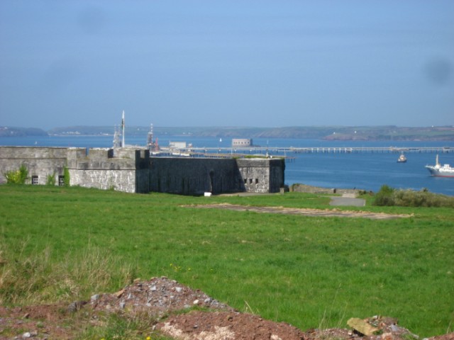 Promontory fortPromontory fort, coastal · 955 yd
 IndicatedFairy fort / earthen ringfort · 1130 yd
 Church in ruinsChurch · 1304 yd
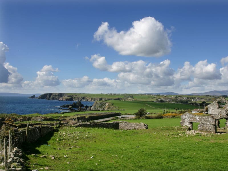 South East Coastal DriveVisitor information · 1654 yd
 Rathmoylan CoveBeach / strand · 1.0 mi
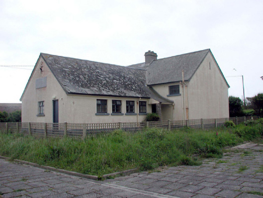 Dunmore East Convent National SchoolOfficially recorded historic building · 1.1 mi
 Lost at Sea Memorial WallMemorial · 1.2 mi
 Castle in ruinsCastle, Anglo-Norman masonry castle · 1.3 mi
 Main ForestWood · 2.6 mi