What is recorded here
This well is enclosed by a subrectangular block and cement wall. Access is at E. It is used as a watering hole for cattle.
Compiled by: Olive Alcock
Date of upload: 20 October 2016
The monument record does not grant public access. Check the route and ask the landowner before entering private land.
- What survives
- Recorded monument
Places near here
 IndicatedChurch · 967 yd
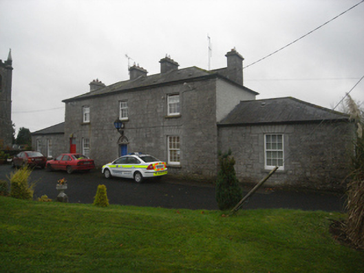 Monivea Garda Síochána Stationrectory/glebe/vicarage/curate's house · 1107 yd
 CaherlissakillFairy fort / ringfort · 1.2 mi
 LaghtaLeacht cuimhne · 1.5 mi
 Monivea CastleCastle · 1.6 mi
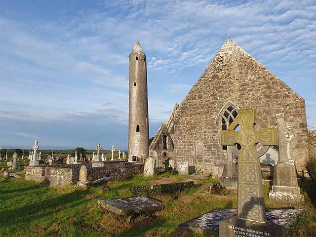 Killaclogher CastleCastle · 2.1 mi
 The HazelWood · 2.7 mi
 SycamoreSycamore · 3.4 mi
 First Battle of Athenrybattle · 4.3 mi
 Athenry CastleHeritage attraction · 4.9 mi
 Athenry AbbeyHeritage attraction · 5.0 mi
 Menlough IRAMemorial · 6.9 mi