What is recorded here
On a slight elevation in gently undulating pastureland. A small circular enclosure (diam. 12-15m) is shown on the 1838 OS 6-inch map; a square enclosure outlined by a dashed line, and named ‘Children’s Burial ground’ is shown on the 1915 edition. Evident as a low subrectangular stony platform (overall dims. c. 10m…
Read the whole record
On a slight elevation in gently undulating pastureland. A small circular enclosure (diam. 12-15m) is shown on the 1838 OS 6-inch map; a square enclosure outlined by a dashed line, and named ‘Children’s Burial ground’ is shown on the 1915 edition. Evident as a low subrectangular stony platform (overall dims. c. 10m NW−SE; c. 9-9.5m NE−SW) obscured by long grass, nettles and a stand of hawthorn and blackthorn bushes. The mound has a relatively flat top (diam. 7.7m NW−SE; 7.2m NE−SW). The sides consist of a low, dilapidated stony scarp (H 0.5-0.8m), best preserved on the SW side. It may originally have been kerbed or walled around the perimeter, reduced now to a rough edging of large stones and boulders. Many low stones protrude from the top of the platform; some of these may be gravemarkers but no clear pattern can be discerned. Some of the stones on top and around the perimeter of the mound appear to be loosely strewn and may be the result of field clearance.
From the National Monuments Service (Archaeological Survey of Ireland) record MA119-009
Places near here
Photo credits
- National Inventory of Architectural Heritage
- Sitomon, Wikimedia Commons · CC BY-SA 2.0
- Geograph contributor · CC BY-SA 2.0
- Mike Searle, Wikimedia Commons · CC BY-SA 2.0
- Willow, Wikimedia Commons · CC BY 2.5
- Andreas F. Borchert, Wikimedia Commons · CC BY-SA 4.0
- Nigel Thompson, Geograph · Creative Commons Attribution-ShareAlike 2.0
- Rick Crowley, Wikimedia Commons · CC BY-SA 2.0
- Maigheach-gheal, Geograph · CC BY-SA 2.0
- andrew mcmillan, Wikimedia Commons · CC BY 3.0
- Jonathan Wilkins, Geograph · CC BY-SA 2.0
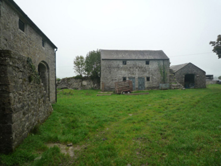 BushfieldFarmyard complex · 1.2 mi
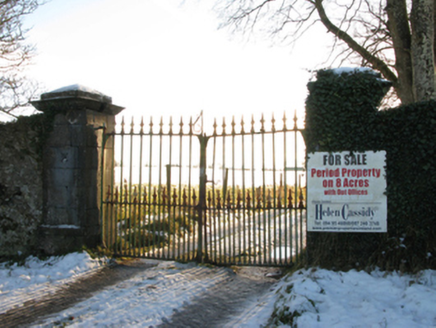 Annefield HouseGates/railings/walls · 1.3 mi
 European Yew4.4 mi
 Killernan CastleCastle · 4.5 mi
_-_geograph.org.uk_-_5829303.jpg/250px-Castles_of_Connacht,_Fartamore,_Galway_(1)_-_geograph.org.uk_-_5829303.jpg "Photo: Mike Searle, Wikimedia Commons · CC BY-SA 2.0") Fartamore Castle (ruins)Castle · 6.5 mi
Fartamore Castle (ruins)Castle · 6.5 mi European ash8.9 mi
 Cloigtheach (Round Tower)Round tower · 9.0 mi
 Grave YardGraveyard · 9.3 mi
 Inis an GhaillIsland · 15 mi
 Owenriff WayWalking route · 18 mi
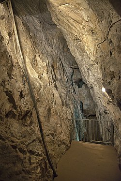 Glengowla MinesHeritage attraction · 20 mi
 Leaca DonnaMountain / peak · 25 mi
More archaeology and monuments in County Mayo · All of County Mayo

What do you know about this place?Tap to add a comment or ask a question