
What is recorded here
Indicated as a circular enclosure on the 1st (1839) ed. OS 6-inch map and as an irregular-shaped enclosure on the 1948 revision. According to O'Kelly (1969, 144) in Physicianstown there is a 'rath here is called "the Forth" [fort]'. The enclosure was levelled in 1955 (pers. comm. J. Maher, 1986). It is visible as a cropmark on satellite imagery as a roughly circular enclosure (diam. c. 50m), defined by a fosse, with the cropmark of a small pond or quarry adjoining immediately to the NNW and another, slightly larger one, adjoining immediately to the S. Kings River flows roughly N-S c. 150m to the W.
Compiled by: Jean Farrelly
Date of upload: 9 May 2022
A local fairy fort (ringfort/rath); wider significance not recorded.
The monument record does not grant public access. Check the route and ask the landowner before entering private land.
- What survives
- Recorded monument
Places near here
 Modeshil Church (in ruins)Church · 1.1 mi
 Modeshil Castle (in ruins)Castle · 1.2 mi
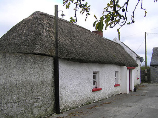 farm housefarm house · 1.4 mi
 Crannlaght TreeRitual site, holy tree/bush · 1.4 mi
 Enclosure in Jamestown (modeshil Par.)Enclosure · 1.5 mi
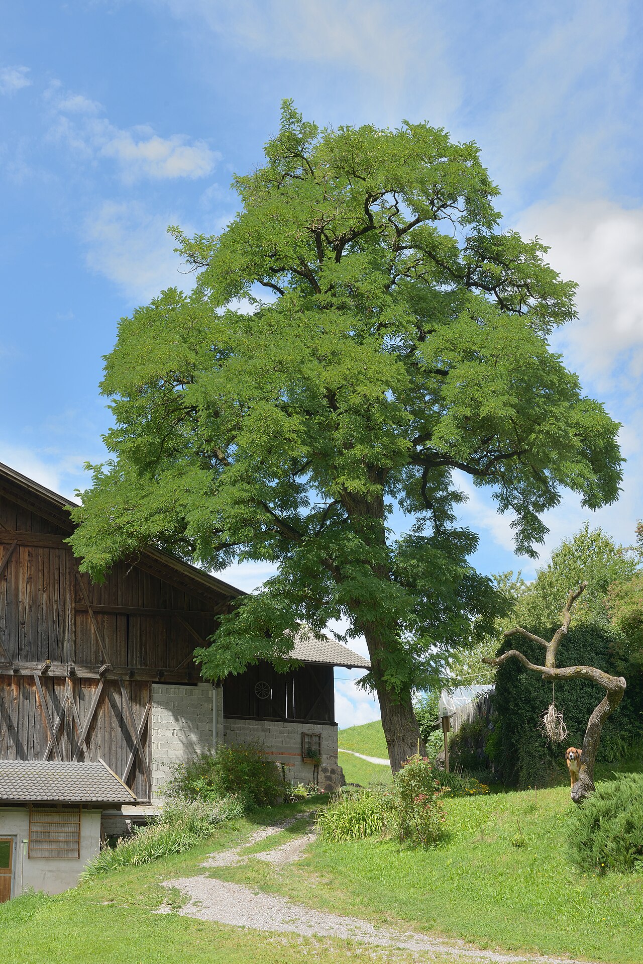 Black LocustBlack Locust · 1.8 mi
 Pedunculate OakPedunculate Oak · 1.8 mi
 West CourtCastle, unclassified · 2.4 mi
 Edmund Rice Heritage CentreMuseum · 2.5 mi
 Callan Co-operative Agricultural & Dairy Society Ltd.Memorial · 2.6 mi
 Green StreetVisitor information · 2.6 mi
 Edmund Rice MemorialMemorial · 2.6 mi
Other information
Photo: Credit not shown in the picture search · Rights wording not checked; contact us if this picture should be removed