What is recorded here
Marked faintly as a D-shaped feature (dims. c. 30m E-W; c. 25m N-S) truncated at N by an E-W road bank on the 1840 ed. of the OS 6-inch map. Situated in pasture on the W-facing slope of the valley of the S-N Ballymoat stream which is c. 260m to the W, it is not visible at ground level.
The above description is derived from the published 'Archaeological Inventory of County Waterford' (Dublin: Stationery Office, 1999). In certain instances the entries have been revised and updated in the light of recent research.
Compiled by: Michael Moore
Date of upload/revision: 05 January 2011
The monument record does not grant public access. Check the route and ask the landowner before entering private land.
- What survives
- Recorded monument
Places near here
 Mote or TumulusCastle, motte · 657 yd
 IndicatedBawn · 677 yd
 Chruch (in ruins)Church · 834 yd
 DolmenPortal tomb · 905 yd
 Gaulstown Portal TombArchaeological place · 931 yd
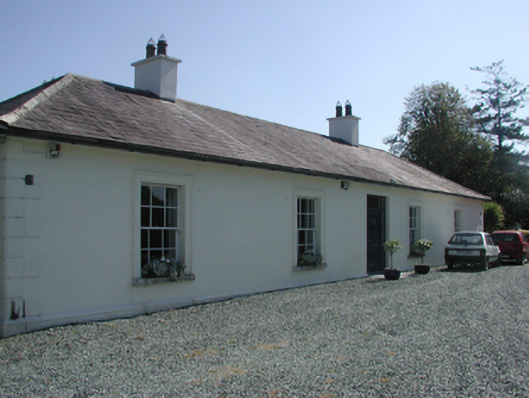 Pembrokestown Housecountry house · 1352 yd
 Sugar Loaf RockMountain / peak · 2.0 mi
 Monterey CypressMonterey Cypress · 2.1 mi
 Mount Congreve GardensHeritage attraction · 2.1 mi
 Sweet micheliaSweet michelia · 2.1 mi
 Waterford & Suir Valley RailwayHeritage attraction · 2.7 mi
 Ballyscanlon HillMountain / peak · 3.0 mi