What is recorded here
Situated on a slight W-facing slope in gently undulating pasture. Depicted on the 1837 OS 6-inch map as a circular enclosure (diam. c. 25m) and on the 1913 edition as a penannular enclosure open to E and incorporated into a field boundary at S. The site has been removed and are no remains visible at ground level.
From the National Monuments Service (Archaeological Survey of Ireland) record SL011-094
Places near here
Photo credits
- National Inventory of Architectural Heritage
- Colin Park, Geograph · CC BY-SA 2.0
- Oliver Dixon, Geograph · CC BY-SA 2.0
- Mick Garratt, Geograph · CC BY-SA 2.0
- Michael Dibb, Geograph · CC BY-SA 2.0
- Mike Searle, Geograph · CC BY-SA 2.0
- Florentchevallier, Wikimedia Commons · CC BY-SA 4.0
- Robin Mais, Geograph · CC BY-SA 2.0
- Alan Reid, Geograph · CC BY-SA 2.0
- Andreas F. Borchert, Wikimedia Commons · CC BY-SA 4.0
- Didier Descouens, Wikimedia Commons · CC BY-SA 4.0
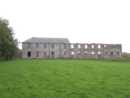 Dromore West Union WorkhouseWorkhouse · 733 yd
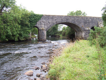 bridge980 yd
 Split RockNamed rock · 2.1 mi
 Cooanmore PointHeadland · 3.4 mi
 Wild Atlantic Way: Easky PierVisitor information · 3.7 mi
 Roslee CastleCastle, tower house · 3.8 mi
 TowerSignal tower · 5.9 mi
 Wild Atlantic Way: Inishcrone PierVisitor information · 7.8 mi
 Enniscrone BeachBeach / strand · 8.7 mi
 Largan HillMountain / peak · 9.7 mi
 Rosserk AbbeyHeritage attraction · 11 mi
 Hawthorn11 mi
More archaeology and monuments in County Sligo · All of County Sligo

What do you know about this place?Tap to add a comment or ask a question