What is recorded here
In an area of flat rocky pastureland. Marked on the 1922 edition of the OS 6-inch map as a roughly subrectangular possible enclosure (c. 34m NE-SW; c. 30m NW-SE). The townland boundary wall between Parkroe and Shessareagh cuts through it from N to SE. No visible surface trace survives to its W. To its E a very poorly preserved earthen bank (Wth 4m; int. and ext. H 0.5-0.7m) is visible from NW through N to E.
Compiled by: Olive Alcock
Date of upload: 20 June 2019
The monument record does not grant public access. Check the route and ask the landowner before entering private land.
- What survives
- Recorded monument
Places near here
 Doansheedy FortFairy fort / earthen ringfort · 1376 yd
 IndicatedFairy fort / stone ringfort · 1618 yd
 farm housefarm house · 1715 yd
 Dungory Castle (in ruins)Castle, tower house · 1.3 mi
 Dunguaire CastleCastle · 1.3 mi
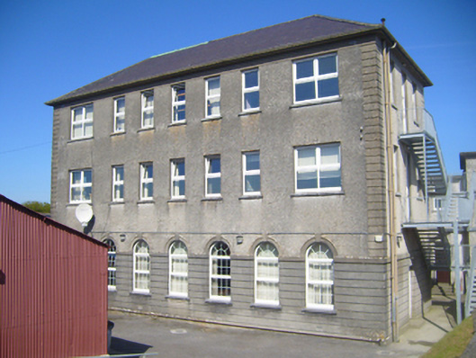 Seamount Collegehouse · 1.7 mi
 Drumharsna CastleHeritage attraction · 2.2 mi
 Mulroney's IslandIslet · 2.3 mi
 Cusheen IslandIslet · 2.6 mi
 Drumacoo Monastic SiteHeritage attraction · 3.9 mi
 European BeechEuropean Beech · 4.0 mi
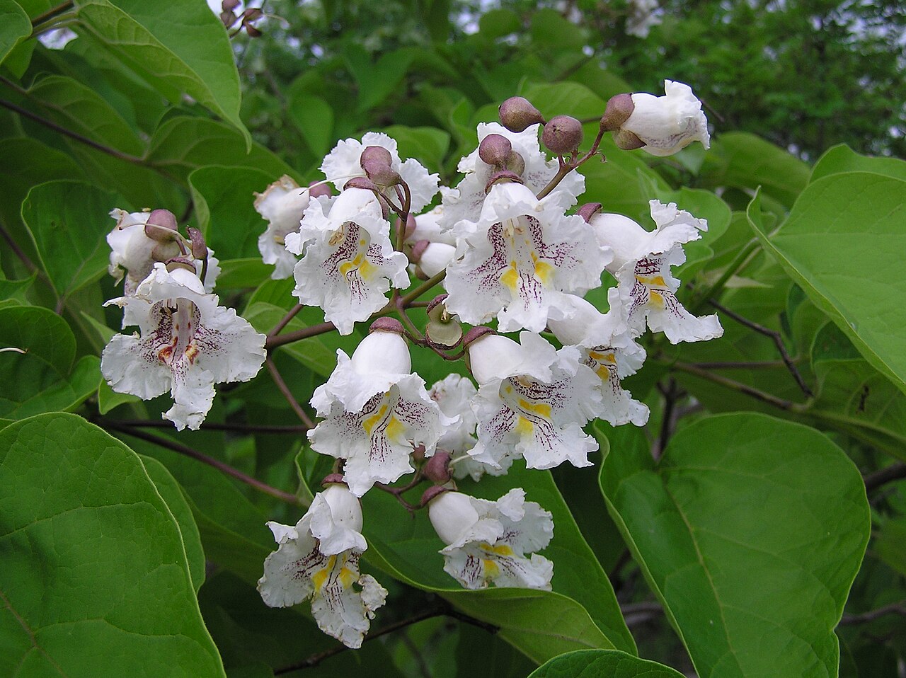 Southern catalpaSouthern catalpa · 4.0 mi