
What is recorded here
On a S-facing slope in pastureland. Circular rath (D c. 48m), in fair condition, defined by two banks and an intervening fosse. McCaffrey (1952, 268, no. 22) noted an entrance gap at S. This is no longer evident as no visible surface trace of the inner bank survives from SE to S. The outer bank, which is overlain by a field wall, is visible from W through N to E.
Compiled by: Galway Archaeological Survey, UCG
Date of upload: 19 September 2017
The monument record does not grant public access. Check the route and ask the landowner before entering private land.
- What survives
- Recorded monument
Places near here
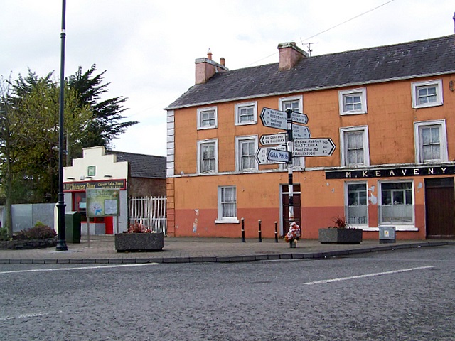 CrossCross · 517 yd
 Dungory Castle (in ruins)Castle, tower house · 985 yd
 Dunguaire CastleCastle · 989 yd
 IndicatedFairy fort / stone ringfort · 1610 yd
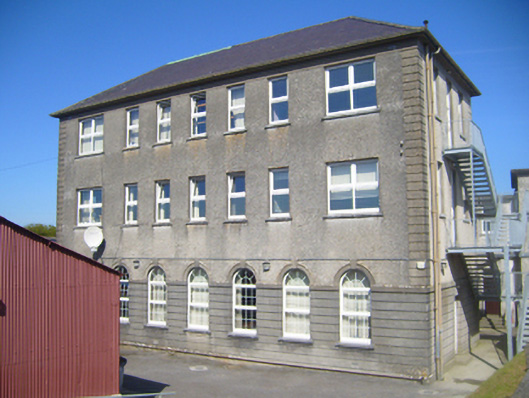 Seamount Collegehouse · 1738 yd
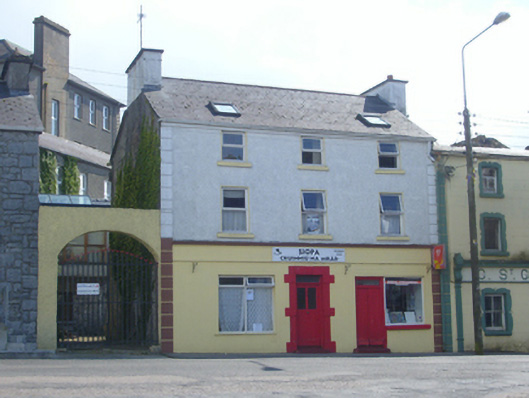 Brogan Househouse · 1.0 mi
 Mulroney's IslandIslet · 1.5 mi
 Cusheen IslandIslet · 1.9 mi
 Drumharsna CastleHeritage attraction · 2.9 mi
 Traught BeachBeach / strand · 3.5 mi
 Drumacoo Monastic SiteHeritage attraction · 3.7 mi
 Coole-Garryland Nature ReserveNature reserve · 4.6 mi
Other information
Photo: Credit not shown in the picture search · Rights wording not checked; contact us if this picture should be removed