
What is recorded here
From the National Monuments Service (Archaeological Survey of Ireland) record CO023-245
Places near here
Photo credits
- Golfing in Ireland; photographer not stated, Source publisher
- Maker not stated on source page, en.wikipedia.org
- Maker not stated on source page, www.dreamstime.com
- National Inventory of Architectural Heritage
- Maker not stated on source page, commons.wikimedia.org
- Maker not stated on source page, www.adequatetravel.com
- The Speckled Bird, Wikimedia Commons · CC BY-SA 4.0
- John Tarrant / The Echo, www.echolive.ie
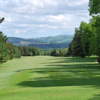 Kanturk Golf ClubGolf course · 505 yd
 Church in GarraveasogeChurch · 560 yd
Explorer Tom Church in Garraveasoge dates back to the penal times, so it’s seen some serious historical drama. It was used as an…
 Standing stone in DromalourStanding stone · 981 yd
Explorer Tom Standing stone in Dromalour is standing on its own slope like it hasn’t got a care in the world. It’s irregular and…
 Castlepark HouseFarmyard complex · 1358 yd
Explorer Tom Castlepark House in Paal East is a farmyard complex that served the demesne, meaning it was basically the kitchen for…
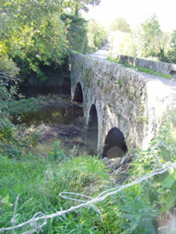 Brogeen BridgeBridge · 1423 yd
Explorer Tom Brogeen Bridge is showing off its round-headed arches like it’s posing for a fashion shoot in Kanturk. I reckon it…
 Holy well in DromalourHoly well · 1487 yd
Explorer Tom Holy well in Dromalour was drained years ago because two lads made a bet in the pub that they could drain it before…
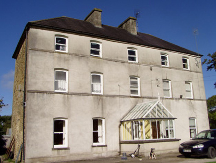 Mill ViewHouse · 1502 yd
Explorer Tom Mill View in Coolacoosane is a substantial house with classical architecture stripped to its barest form, which means…
 Church in Killeenleagh (duhallow By.)Church · 1747 yd
Explorer Tom Church in Killeenleagh in County Cork is doing its best impression of a ghost when nobody's looking. It used to be…
 Kanturk Castle GroundsPark · 1.2 mi
Explorer Tom Kanturk Castle Grounds got into a massive feud with the next village over whether a specific fence post was leaning to…
 Kanturk CastleHeritage attraction · 1.2 mi
Explorer Tom Kanturk Castle in County Cork has a bird that refuses to leave no matter how much you wave at it. The castle itself is…
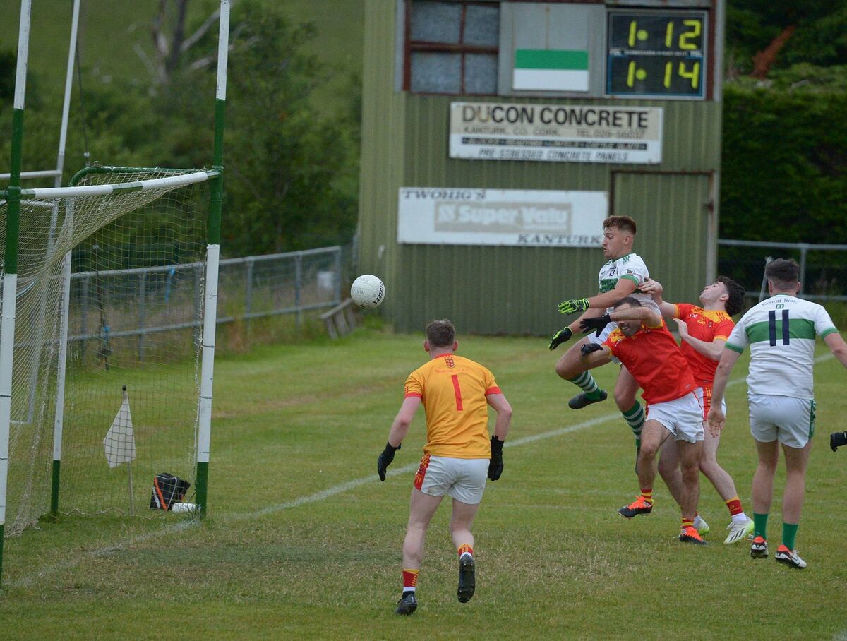 Kanturk GAA pitchGAA ground · 1.8 mi
 Castle (Site of)Castle, unclassified · 1.9 mi
Explorer Tom Castle in Curragh is in a rivalry with its more famous namesake across the county, standing on the Allow River bank…
More archaeology and monuments in County Cork · All of County Cork

What do you know about this place?Tap to add a comment or ask a question