What is recorded here
In gently undulating pastureland, overlooking marshland to the S. This large subcircular enclosure (N-S c.
105m int.), in fair condition, is defined by a low earthen bank and an external fosse. Modern field walls overlie the bank from SE through S to NW. A causewayed entrance gap (Wth 2.9m) at SSE may be original. A small field-clearance cairn is visible in the SW quadrant of the interior. There is a low mound of earth and stone to its S but its function is unclear. A NNW-SSE running field boundary cuts across the monument at N and ESE. A house site (GA095-109----) lies c. 25m to the S. (Lynch Athy 1914, 138)
Compiled by: Galway Archaeological Survey, UCG
Date of upload: 27 August 2019
The monument record does not grant public access. Check the route and ask the landowner before entering private land.
- What survives
- Recorded monument
Places near here
 ToberroeHoly well · 475 yd
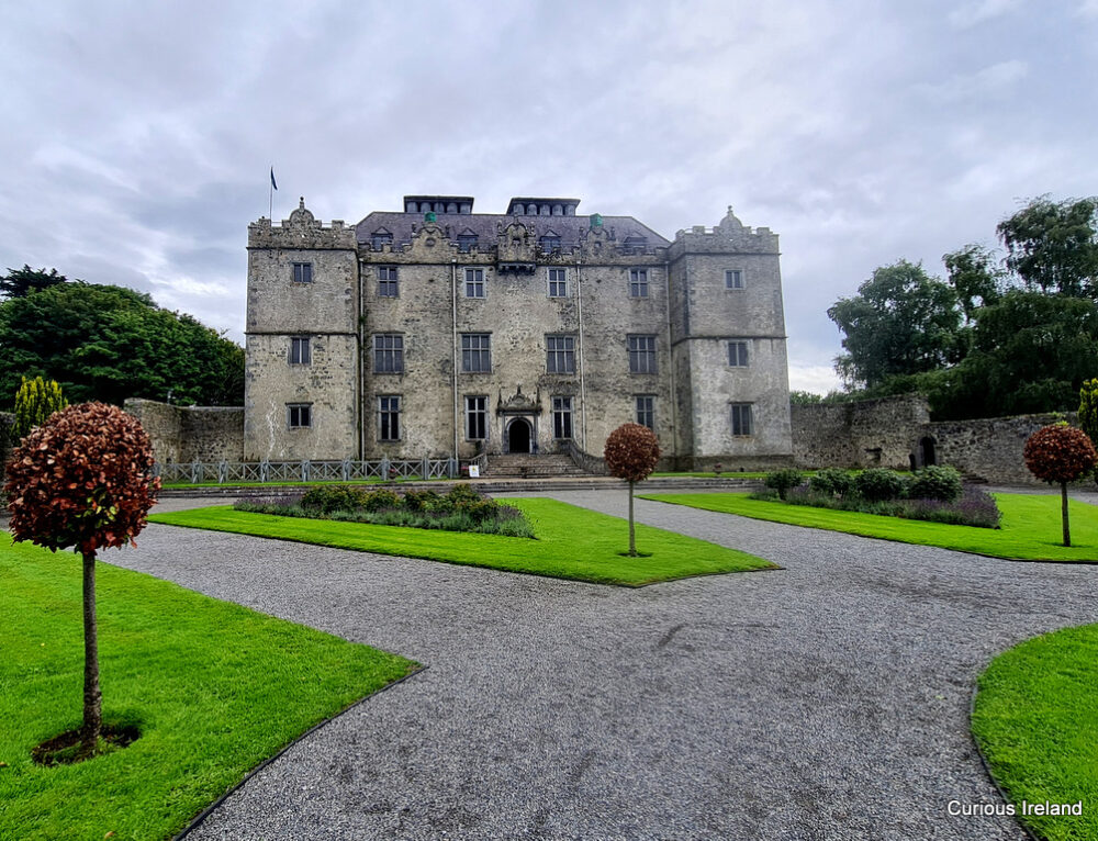 Moneyduff Castle (Site of)Castle, unclassified · 477 yd
 Oran FortFairy fort / earthen ringfort · 682 yd
 Rocklandshouse · 696 yd
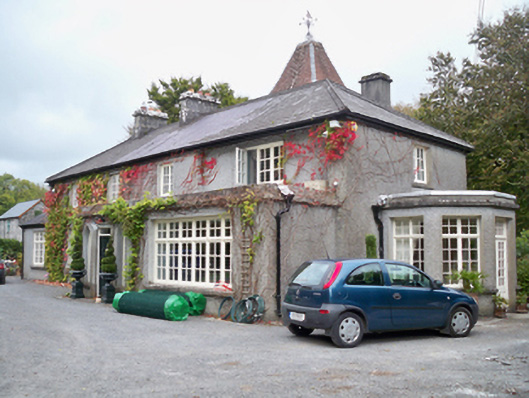 Rockhill Househouse · 807 yd
 Castle (in Ruins)Castle, tower house · 1.1 mi
 North WoodWood · 1.8 mi
 South WoodWood · 1.8 mi
 Leadmine HillMountain / peak · 2.5 mi
 Rabbit IslandIslet · 3.6 mi
 Ardfry PointHeadland · 3.8 mi
 MweenisharanIslet · 3.9 mi