
What is recorded here
The fairy fort or earthen ringfort in Dawros is in County Sligo, Ireland. The site stood on a low dry rise bordered by bogland to the east and west before quarrying removed the earthwork and the rise itself. The 1838 Ordnance Survey map recorded an embanked circular area about 25 metres across with a trigonometrical station in the centre.
Originally located on top of a low dry rise with bogland to E and W. The possible rath and the rise on which it stood have been removed due to quarrying. It was indicated on the 1838 OS 6-inch map as an embanked circular area (diam. c. 25m) with a trigonometrical station in the centre.
The above description is derived from the published 'Archaeological Inventory of County Sligo' compiled by Ursula Egan, Elizabeth Byrne, Mary Sleeman with Sheila Ronan and Connie Murphy (Dublin Stationery Office, 2005).
Date of upload: 18 January 2008
The monument record does not grant public access. Check the route and ask the landowner before entering private land.
- What survives
- Recorded monument
Places near here
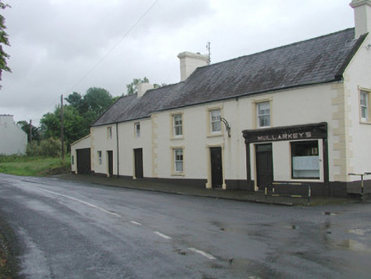 Mullarkey'shouse · 1.1 mi
 The Lodgegate lodge · 1.1 mi
 IndicatedEnclosure · 1.3 mi
 Castle (Site of)Castle, unclassified · 2.2 mi
 LisleaFairy fort / earthen ringfort · 2.6 mi
 Ballyara Castle (in Ruins)Castle, unclassified · 3.4 mi
 Tawnyart WoodWood · 4.7 mi
 Carrick WoodWood · 4.8 mi
 Lough Talt TrailVisitor information · 5.9 mi
 Old Cave Burial GroundArchaeological place · 6.2 mi
 KnockasliggaunMountain / peak · 7.0 mi
 Largan HillMountain / peak · 7.1 mi
Other information
Photo: Credit not shown in the picture search · Rights wording not checked; contact us if this picture should be removed