
What is recorded here
No surface trace survives of the semicircular enclosure marked on the first edition of the OS map at this location. A low earthen bank runs parallel to the present field boundary, as depicted on the second edition.
The above description is derived from A. O'Sullivan and J. Sheehan (compilers), 'The Iveragh peninsula: an archaeological survey of South Kerry'. Cork University Press (1996), no. 833. In certain instances the entries have been revised and updated in the light of recent research.
Date of upload: 29 July 2013
The monument record does not grant public access. Check the route and ask the landowner before entering private land.
- What survives
- Recorded monument
Places near here
 SheepfoldEnclosure · 872 yd
 Enclosure in Derry WestEnclosure · 1138 yd
 CoomnahornaMountain / peak · 1.2 mi
 An Bheann MhórMountain / peak · 1.4 mi
 2Cliff · 2.5 mi
 Coral BeachBeach / strand · 2.7 mi
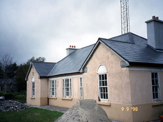 Sneem Garda Síochána Stationgarda station/constabulary barracks · 2.8 mi
 RoadRoad, road/trackway · 2.9 mi
 De Gaulle MemorialMonument · 2.9 mi
 Sneem Commemoration PlaqueMemorial · 3.0 mi
 GarinishIslet · 3.5 mi
 IllaundraneIslet · 3.7 mi
Other information
Photo: Credit not shown in the picture search · Rights wording not checked; contact us if this picture should be removed