What is recorded here
This subcircular enclosure is located in low-lying bog and is bisected by a N-S track which extends from the adjacent modern road. It is marked as a small circular enclosure on the second edition of the OS map. The enclosing bank is of earth and gravel composition, and is well-preserved at W and S. Here it measures 1.8m high internally and 2.5m high externally. It has an average basal width of 8m, and encloses an area 19m N-S x 14.5m E-W. The bank is overgrown and is gapped only by the track.
The above description is derived from A. O'Sullivan and J. Sheehan (compilers), 'The Iveragh peninsula: an archaeological survey of South Kerry'. Cork University Press (1996), no. 736. In certain instances the entries have been revised and updated in the light of recent research.
Date of upload: 29 July 2013
A local fairy fort (ringfort/rath); wider significance not recorded.
The monument record does not grant public access. Check the route and ask the landowner before entering private land.
- What survives
- Recorded monument
Places near here
 Indicated (1896).Enclosure · 1138 yd
 An Bheann MhórMountain / peak · 1286 yd
 Man-made underground passage in Derry EastMan-made underground passage · 1738 yd
 Dereenavurrig HillMountain / peak · 1.4 mi
 Coral BeachBeach / strand · 2.1 mi
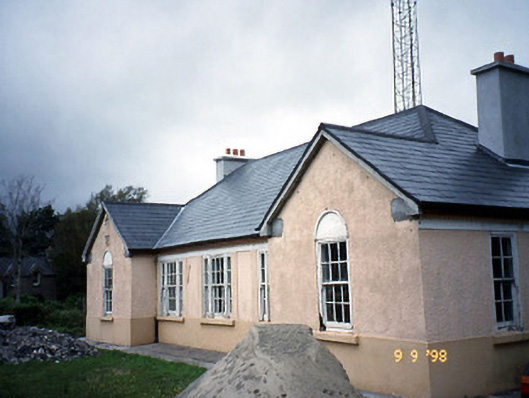 Sneem Garda Síochána Stationgarda station/constabulary barracks · 2.5 mi
 2Cliff · 2.6 mi
 De Gaulle MemorialMonument · 2.6 mi
 Saint Michael's Catholic Churchchurch/chapel · 2.6 mi
 Sneem Commemoration PlaqueMemorial · 2.7 mi
 GarinishIslet · 2.9 mi
 IllaundraneIslet · 3.3 mi
Other information
Photo: Credit not shown in the picture search · Rights wording not checked; contact us if this picture should be removed