
What is recorded here
On a gentle E-facing slope. Circular grass-covered area (int. diam. 28m N-S; 28m E-W) with some bushes, used as a paddock with a slightly raised interior, defined by the base of a stone wall, visible intermittently as facing-stones (original Wth c. 1.5-1.8m; max. int. H 0.2m) beneath an overgrown drystone wall (Wth 0.9-1.1m; int. H 0.6m; ext. H 1-1.5m), which has collapsed NNW-NNE. There is a modern entrance at NE, but the original entrance (Wth 1.9m) is at SE. Rath (RO054-016----) is c. 140m tot he NNW.
Compiled by: Michael Moore
Date of upload: 24 August 2010
A local fairy fort (ringfort/rath); wider significance not recorded.
The monument record does not grant public access. Check the route and ask the landowner before entering private land.
- What survives
- Recorded monument
Places near here
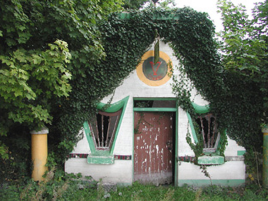 Millar's Harp Houseshop/retail outlet · 931 yd
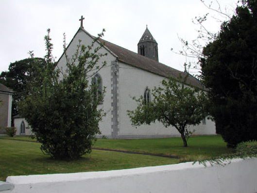 Saint Mary's Catholic Churchchurch/chapel · 1012 yd
 Embanked enclosureFairy fort / stone ringfort · 1051 yd
 Tonvee CastleCastle, unclassified · 1.1 mi
 Tully CastleArchaeological place · 1.2 mi
 Kilbegly WellHoly well · 2.5 mi
 Split HillMountain / peak · 3.3 mi
 Devenish IslandIsland · 4.2 mi
 Ardcarn IslandsIslet · 4.5 mi
 HawthornHawthorn · 4.8 mi
 Sugarloaf HillMountain / peak · 4.8 mi
 ClonmacnoiseMuseum · 4.9 mi
Other information
Photo: Credit not shown in the picture search · Rights wording not checked; contact us if this picture should be removed