What is recorded here
On a hilltop, in pasture, with panoramic views in all directions. A low, sub-circular mound (H. 1m at W-1.5m at N and E; base diams. 10.5m E-W; 9.9m N-S; summit diam. 4.3m E-W; 3.3m N-S) is composed of earth and stone. An iron Trigonometrical Station, revetted by earthfast stones, is embedded on the surface, and the height (OD 594 feet) is recorded on the 1st ed. (1838) of the OS 6-inch map. The monument may have been a pre-existing mound modified for that purpose. Traces of a fosse and possible external bank are visible on Digital Globe aerial photography suggesting that this mound may be the remains of a bowl-barrow. This burial mound or barrow is annotated 'Moat' on Longfield's 1809 map of part of Oldkilcullen (NLI MS. 21 F. 34(28)). On this map it is depicted as a small mound standing immediately south of a road annotated 'Green Road called Drawwell Lane'.
Compiled by: Gearóid Conroy
Revised by: Caimin O'Brien based on details kindly provided by Edward O'Riordan
Date of revised upload: 18 January 2019
The monument record does not grant public access. Check the route and ask the landowner before entering private land.
- What survives
- Recorded monument
Places near here
 Ecclesiastical site in OldkilcullenEcclesiastical site · 780 yd
 Round TowerRound tower · 800 yd
 Church (in Ruins)Church · 824 yd
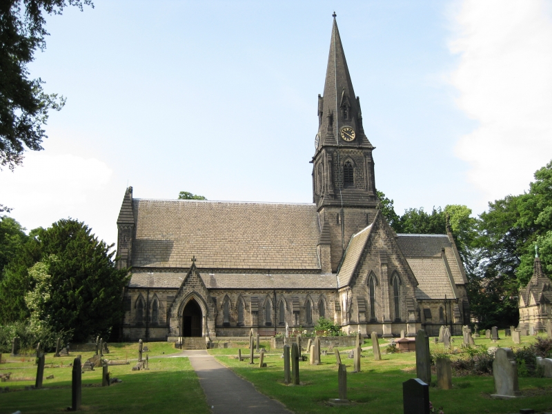 Church in Moortown (ballysax East Ed)Church · 1427 yd
 Castle in RuinsCastle, tower house · 1.1 mi
 Castlefish (in Ruins)Castle, unclassified · 1.5 mi
 Coillte ForestForest · 2.0 mi
 1798 memorial stoneMonument · 2.2 mi
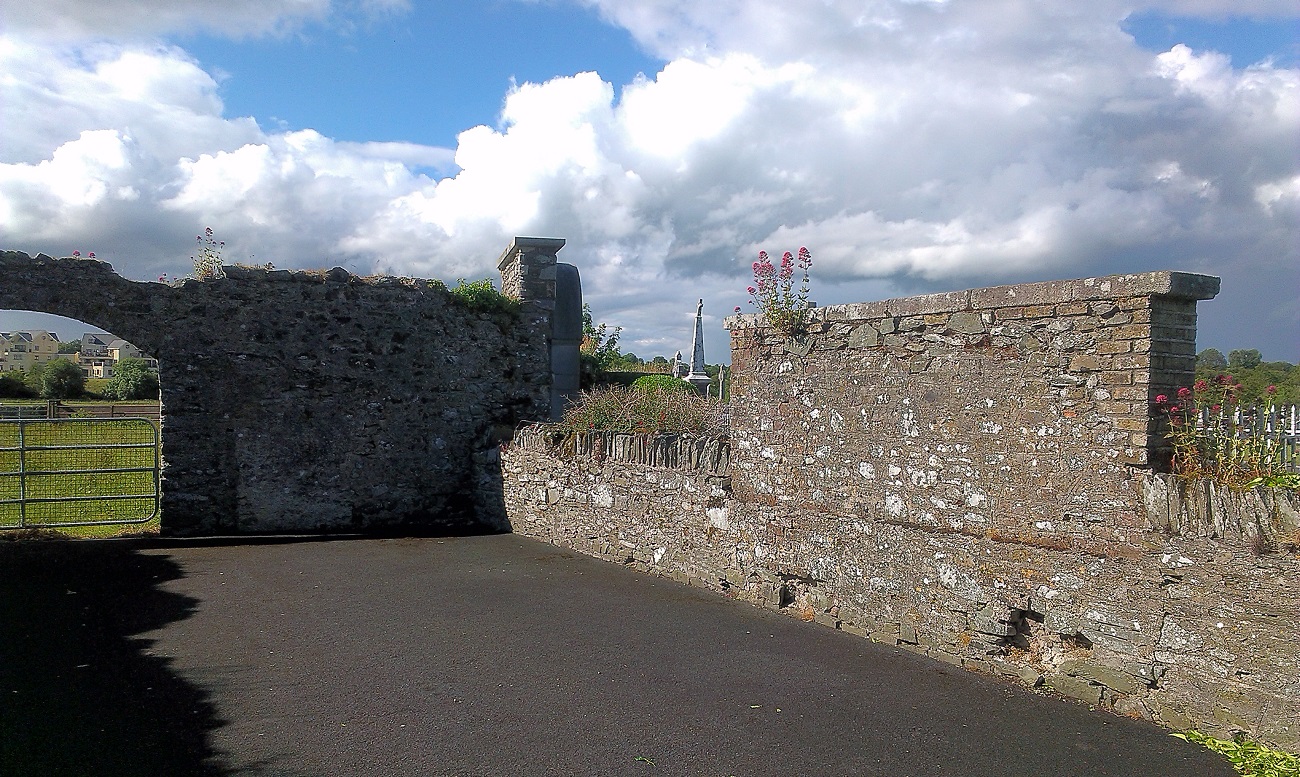 New Abbey WoodsWood · 2.3 mi
 Memorial to 1798 rebellionMonument · 4.4 mi
 Battle of Kilrushbattle · 4.8 mi
 Newbridge SilverwareMuseum · 5.1 mi