What is recorded here
In level pasture, c. 250m N of the Flesk River. This possible rath is not visible at ground level. It is indicated as a circular enclosure (diam. c. 40m) on the 1846 OS 6-inch map. On the 1893-4 OS 6-inch map the N arc has been truncated making the rath D-shaped. The arc may have been removed during the construction of the Killarney and Tralee branch of the Great Southern and Western Railway, which lies c. 20m to the N.
Compiled by: Elizabeth Byrne, Ursula Egan and Sheila Ronan, Archaeological Survey Unit, University College, Cork.
From the National Monuments Service (Archaeological Survey of Ireland) record KE067-055
Places near here
Photo credits
- Maria Teresa Satta, Wikimedia Commons · CC BY-SA 4.0
- National Inventory of Architectural Heritage
- Neville Goodman, Geograph · CC BY-SA 2.0
- Mike Searle, Wikimedia Commons · CC BY-SA 2.0
- Ian Paterson, Geograph · Creative Commons Attribution-ShareAlike 2.0
- NicholasH, Wikimedia Commons · CC BY-SA 4.0
- Sitomon, Wikimedia Commons · CC BY-SA 2.0
- Colin Park, Geograph · CC BY-SA 2.0
- National Library of Ireland on The Commons, Wikimedia Commons · No restrictions
- Peter Gerken, Geograph · CC BY-SA 2.0
- Colin Park, Wikimedia Commons · CC BY-SA 2.0
- Marathon, Geograph · CC BY-SA 2.0
 Lissivigeen Stone CircleHeritage attraction · 2.5 mi
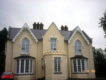 WoodfordHouse · 2.6 mi
 Sheheree Bog Nature ReserveNature reserve · 2.7 mi
 Flesk CastleCastle · 2.8 mi
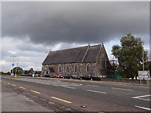 Saint Agatha's Catholic ChurchChurch/chapel · 2.9 mi
 Muckross AbbeyHeritage attraction · 3.4 mi
 European Yew3.4 mi
 CrohaneMountain / peak · 3.4 mi
.jpg/250px-Its_a_castle..._or_is_it%3F%3F%3F%3F_The_McCarthy_M%C3%B3r_Castle_in_Killarney,_Co._Kerry_(16037295350).jpg "Photo: National Library of Ireland on The Commons, Wikimedia Commons · No restrictions") McCarthy Mor CastleCastle · 3.6 mi
McCarthy Mor CastleCastle · 3.6 mi Castlelough BayBay · 3.8 mi
 StoompaMountain / peak · 4.1 mi
 Monsignor Hugh O'Flaherty MemorialMemorial · 4.3 mi
More archaeology and monuments in County Kerry · All of County Kerry

What do you know about this place?Tap to add a comment or ask a question