What is recorded here
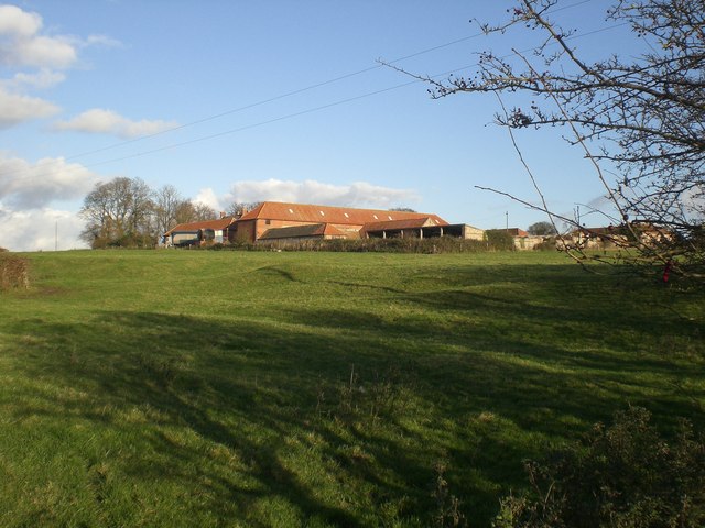
In pasture, atop low hill. Roughly rectangular area (47m SE-NW; 29m NE-SW) enclosed by earth and stone bank (int. H 0.35m; ext. H 1.4m) with external fosse (Base Wth. 4m; D 0.2m) ESE->WSW, scarp-edge (ext. H 0.45m) WSW->WNW and field boundary WNW->ESE. Bank is covered with elder and whitethorn trees. Field boundary, meeting in a corner at NNW, is slightly curved NNE->ESE. Interior under pasture with W half sloping down to the NW.
Compiled by: Denis Power
Date of upload: 26 August 2011
The monument record does not grant public access. Check the route and ask the landowner before entering private land.
- What survives
- Recorded monument
Places near here
 Settlement desertedSettlement deserted, medieval · 741 yd
 Kilmoylan Church (in ruins)Church · 751 yd
 Burial ground in OldabbeyBurial ground · 796 yd
 MonasternagalliaghduffReligious house, Augustinian nuns · 828 yd
 Site of CastleCastle, unclassified · 1492 yd
 CastleCastle, unclassified · 1528 yd
 Foynes Flying Boat & Maritime MuseumMuseum · 3.2 mi
 Foynes Island ViewpointViewpoint · 3.4 mi
 Gammarel PointHeadland · 3.5 mi
 Foynes IslandIsland · 3.9 mi
 Monterey CypressMonterey Cypress · 4.2 mi
 Battery PointHeadland · 4.2 mi