What is recorded here
Corn Mill depicted on current ed. OS 6-inch map may be located on site of watermill depicted on the 1659 Down Survey map of Kilkenny West barony (NLI, MS 723-4). The location of the present corn mill matches closely the location of the mill marked on the Down Survey map. On this map the mill is annotated as 'a mill' and is depicted with a vertical waterwheel standing on the bank of the Tang River.
Compiled by: Caimin O'Brien
Date of upload: 23 July 2015
The monument record does not grant public access. Check the route and ask the landowner before entering private land.
- What survives
- Recorded monument
Places near here
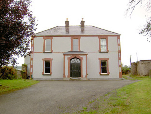 Rathmore Househouse · 692 yd
 Partially hachuredCliff-edge fort · 800 yd
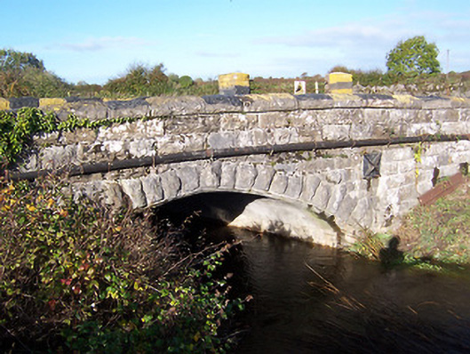 bridgebridge · 910 yd
 IndicatedFairy fort / earthen ringfort · 1050 yd
 European BeechEuropean Beech · 1194 yd
 Noughaval CemeteryArchaeological place · 1413 yd
 OutlinedCastle, unclassified · 1.7 mi
 CastleCastle, motte · 2.0 mi
 Target WoodWood · 3.1 mi
 Newcastle WoodsForest · 3.2 mi
 Guest ServicesVisitor information · 3.4 mi
 Craft WorkshopHeritage attraction · 3.4 mi