
What is recorded here
In beech planted 19th-century woodland on N facing slope of rising ground in upland region good views on downslope, higher ground to S. Impressive well-preserved ringfort (int. diam. 32m N-S; 35m E-W) consisting of a raised circular area enclosed by an earth and stone bank (top Wth 2.5m; base Wth 4.5m; int. H 0.5m; Ext. H 1.5-3m) and external fosse (base Wth 1.5m; top Wth 6m; Ext. D 1.2m). Nearby gate lodge to Noan House located 70m to W. Possible entrance gap at NNE (Wth 2.5m) where bank slopes down to interior only break in bank around ringfort. External height of bank is greatest on the downslope and lower on the upslope, remains well preserved despite been planted with beech trees in the 19th century.
Compiled by: Jean Farrelly
Date of upload: 26 August 2011
A local fairy fort (ringfort/rath); wider significance not recorded.
The monument record does not grant public access. Check the route and ask the landowner before entering private land.
- What survives
- Recorded monument
Places near here
 Noan WoodWood · 591 yd
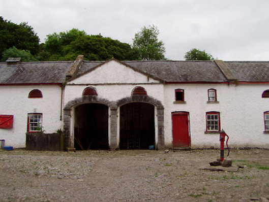 Noan Housefarmyard complex · 723 yd
 Hilltop enclosure in Ballaghboy (graystown Par.)Hilltop enclosure · 808 yd
 Taylor's WoodWood · 862 yd
 Church in RuinsChurch · 946 yd
 Ballinure HillMountain / peak · 1667 yd
 Castle in RuinsCastle, motte and bailey · 1.9 mi
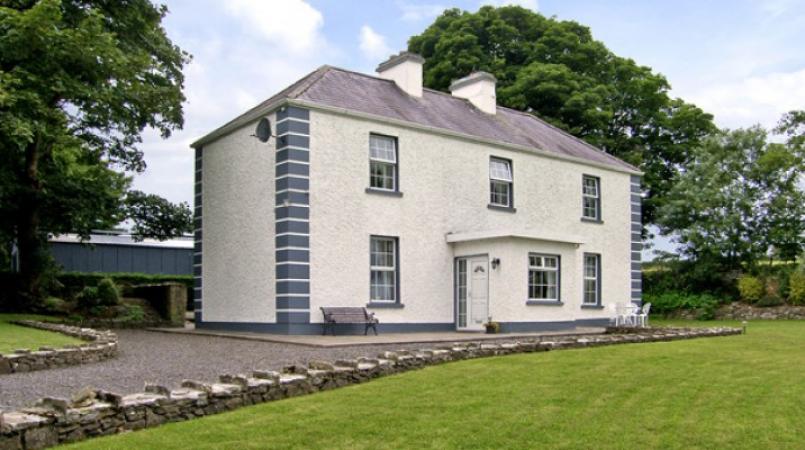 Enclosure in Grallagh (graystown Par.)Enclosure · 1.9 mi
 Castle (in ruins)Castle, tower house · 2.1 mi
 Gobban Saer's GraveArchaeological place · 3.2 mi
 Horse and JockeyVisitor information · 3.9 mi
 Slieveardagh Heritage CentreVisitor information · 3.9 mi
Other information
Photo: Credit not shown in the picture search · Rights wording not checked; contact us if this picture should be removed