What is recorded here
Situated on a low rise in a low-lying, level landscape within Newtown Gore village. There is a Church of Ireland church within the rectangular graveyard (dims c. 60m N-S; c. 50m E-W) defined by masonry walls, but this church was built since 1835 and on the 6-inch map of that year Moyagh Church (LE026-016001-) is within small oval enclosure (dims c. 35m E-W; c. 25m N-S) defined by broken lines. The present graveyard has a few headstones dating from 1733 at the old church to the present.
Compiled by: Michael Moore
Date of upload: 7 July, 2017
A portal dolmen; likely dating to the Neolithic or early Bronze Age. Its location within a defined graveyard area suggests a possible continuity of sacred or ceremonial use of the site through later periods.
The monument record does not grant public access. Check the route and ask the landowner before entering private land.
- What survives
- Recorded monument
Places near here
 Moyagh ChurchChurch · 11 yd
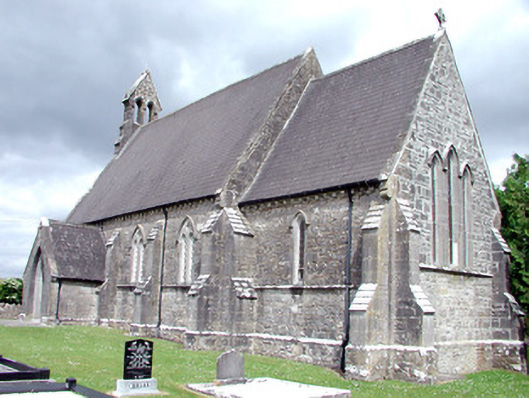 Saint Patrick's Church (Carrigallen)church/chapel · 15 yd
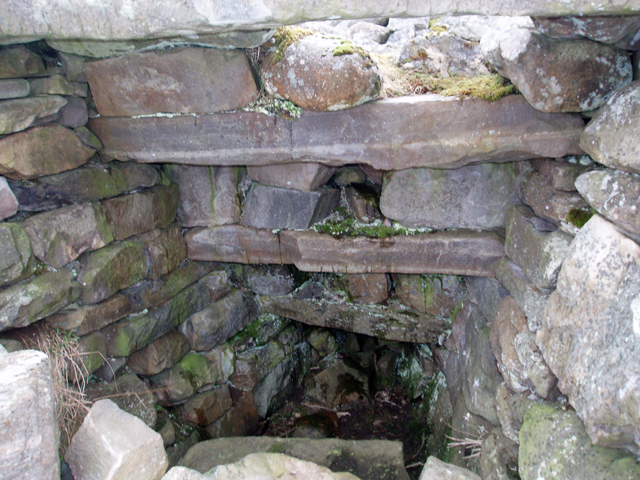 Outlined, Corn KilnEnclosure · 486 yd
 Fairy fort / earthen ringfort in MullyasterFairy fort / earthen ringfort · 951 yd
 DerrynigginMountain / peak · 1390 yd
 Crane IslandIslet · 1.1 mi
 BatteryBawn · 1.1 mi
 Cherry IslandIslet · 1.2 mi
 Bawn in Cherry IslandBawn · 1.3 mi
 Black PoplarBlack Poplar · 1.5 mi
 DrummuckerMountain / peak · 1.6 mi
 Swan Island pet farmHeritage attraction · 1.8 mi