
What is recorded here
On the steep crest of a Leitrim drumlin, a thirty-three-metre earthen ring stands with a wide fosse and outer bank, its eastern entrance still visible through overgrown grass. People called it a fairy fort, perhaps because the shape felt owned by something older than human law. You can walk the ridge where the ground rises sharply on both sides and imagine whoever built it choosing that exact edge, placing a wall between the sky and the drop. The measurement is precise, the name is playful, and the hill has kept both without explanation.
Situated at the crest of the steep E and SE-facing slope of a drumlin. This is a circular overgrown area (diam. 33m N-S; int. diam. 28.3m N-S) defined by an earthen bank (Wth 5-7m; int. H 1m; ext. H 2.4-2.7m) separated by a fosse (Wth of top 6.9-7.2m; Wth of base 2-2.5m; D 1.5m) from an outer bank (at S: Wth 6m; ext. H 0.5m), which is incorporated into a field bank NW-E-S. The entrance (Wth 2.5m) is at ESE.
The above description is derived from 'The Archaeological Inventory of County Leitrim' compiled by Michael J. Moore (Dublin: Stationery Office, 2003). In certain instances the entries have been revised and updated in the light of recent research.
Date of upload: 23 September 2008
The monument record does not grant public access. Check the route and ask the landowner before entering private land.
- What survives
- Recorded monument
Places near here
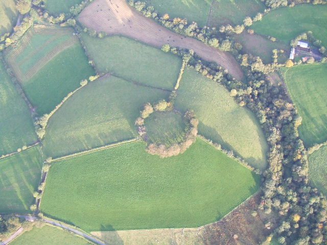 Fairy fort / earthen ringfort in MullyasterFairy fort / earthen ringfort · 424 yd
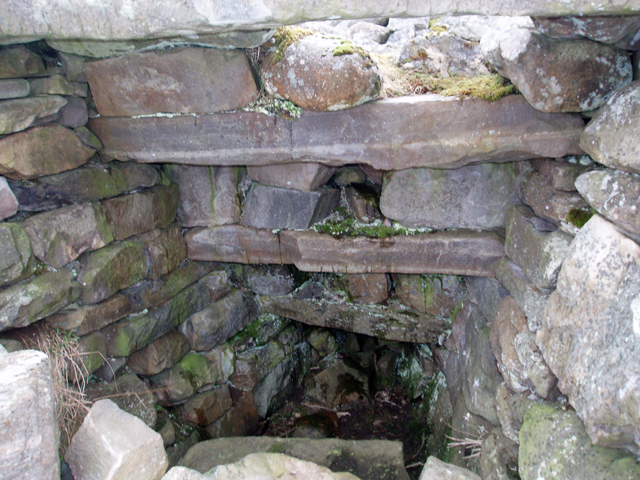 Outlined, Corn KilnEnclosure · 469 yd
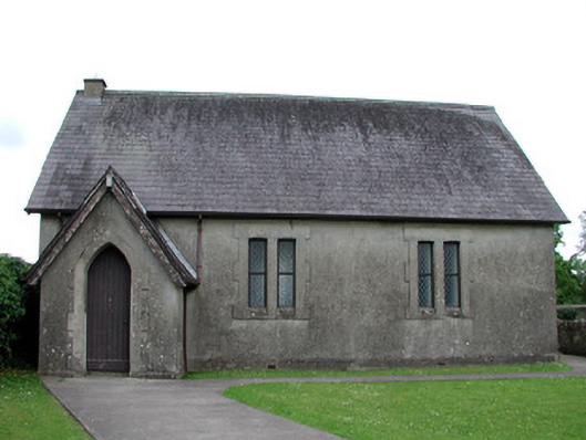 Newtown Gore Methodist Churchchurch/chapel · 740 yd
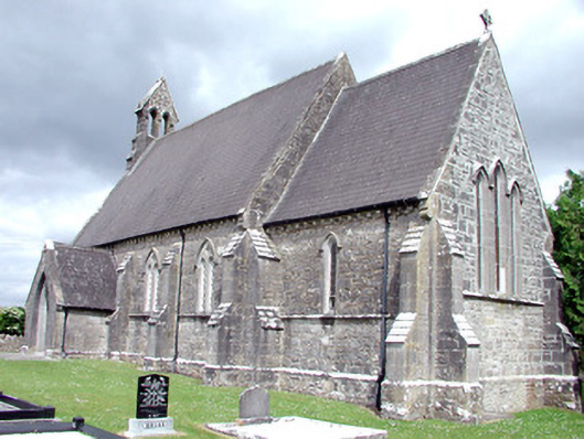 Saint Patrick's Church (Carrigallen)church/chapel · 942 yd
 Crane IslandIslet · 1374 yd
 BatteryBawn · 1403 yd
 Cherry IslandIslet · 1.0 mi
 Bawn in Cherry IslandBawn · 1.1 mi
 DerrynigginMountain / peak · 1.2 mi
 Swan Island pet farmHeritage attraction · 1.3 mi
 Black PoplarBlack Poplar · 1.6 mi
 DrummuckerMountain / peak · 1.6 mi
Other information
Photo: Credit not shown in the picture search · Rights wording not checked; contact us if this picture should be removed