What is recorded here
The 1837 ed. OSi 6-inch map shows a small quarry (DU004-045011-) with two limekilns to the S of Naul Castle (DU004-045002-) and 70m N of Naul Church (DU004-045004-). Present remains consist of two impressively large well preserved limekilns built into the N face of rock outcrop. The limekiln to the E dates from the 18th century and the kiln to the W appears to have been added in the late 18th/early 19th century.
Compiled by: Caimin O'Brien
Date of upload: 21 February 2023
The monument record does not grant public access. Check the route and ask the landowner before entering private land.
- What survives
- Recorded monument
Places near here
 QuarryQuarry · 23 yd
 Bawn in NaulBawn · 64 yd
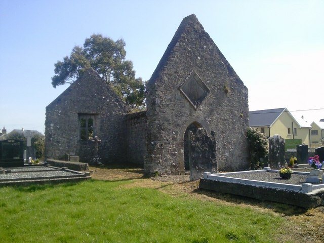 church/chapelchurch/chapel · 78 yd
 Lady WellHoly well · 151 yd
 NaulSettlement cluster · 181 yd
 Seamus Ennis Cultural CentreMemorial · 196 yd
 Naul Park HouseCastle, unclassified · 380 yd
 Bun-na-CnoicMemorial · 679 yd
 Naul HillMountain / peak · 1408 yd
 Tullog WoodForest · 1.4 mi
 KnockbrackMountain / peak · 1.7 mi
 FourknocksPassage tomb · 2.1 mi