What is recorded here
Situated at the crest of a NE-facing slope down to a canalised WNW-ESE section of the Clonard River, which is c. 320m to the N. It is depicted on the undated manuscript map (2161, (48)) in NLI, and it is represented as a small copse on the 1836 and 1912 editions of the OS 6-inch map. This is a circular grass-covered mound (diam. of base 31m N-S; 30m E-W; H 3.4m E-S to 4.7-5.2m W-N) surrounded by an earth bank (Wth c. 2m; H 0.3-0.5m) with an outer ditch.
The above description is derived from the published 'Archaeological Inventory of County Meath' (Dublin: Stationery Office, 1987). In certain instances the entries have been revised and updated in the light of recent research.
Compiled by: Michael Moore
Date of revision: 13 August 2019
The monument record does not grant public access. Check the route and ask the landowner before entering private land.
- What survives
- Recorded monument
Places near here
 Leinster Bridgebridge · 681 yd
 Saint Finian's Church (Clonard)church/chapel · 749 yd
 Site of AbbeyChurch · 750 yd
 Field system in Anneville or Clonard OldField system · 752 yd
 Croppies' GraveMemorial · 918 yd
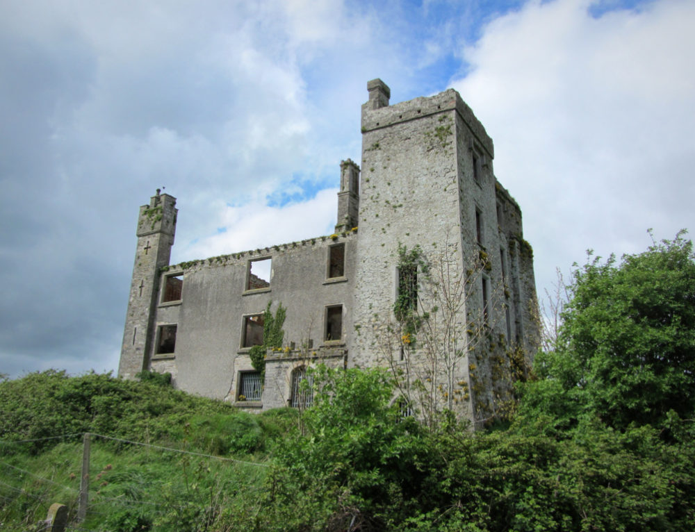 CastleCastle, ringwork · 1048 yd
 Abandoned Kinnegad CanalWood · 1.4 mi
 Queen Marys CastleCastle, tower house · 1.9 mi
 Rahin WoodsForest · 3.5 mi
 The Grill ShackHeritage attraction · 11 mi
 Ash HillMountain / peak · 20 mi
 John McLaughlinMemorial · 20 mi